Login

Forgot your login?

Cookies have to be accepted!
Your browser's cookie functionality is disabled. Please enable this functionality.

Not a member yet?

Register now
Login

Available for registred users only

Log in to use this feature.

Forgot your login?

Cookies have to be accepted!
Your browser's cookie functionality is disabled. Please enable this functionality.

Not a member yet?

Register now
Filter
Categories
Advanced filters
  • Distance (km)
  • Height
Save filters Reset filter

TrackRank

QRCode

Technical data

Distance32,0 km Height1015 m Way down1326 m Duration02:45 h:m Date27.06.2008
Scores Author Landscape Fun factor Fitness Technique

Statistics

358 Views 1 Score 110 Downloads 5.00 Average
Rate
  • Track data sheet
  • Directions
  • Downloads
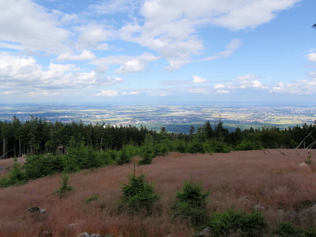
Bad Soden, Sauerborn, Hardbergturm, Opelzoo, Kronberg, Streitbuche (alter Grenzbaum zwischen der Kronberger Mark und der Hohen Mark), Altkönig, Fuchstanz, Kronberg, Krontal, Sauerborn, Bad Soden

Further information at
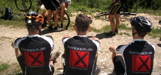
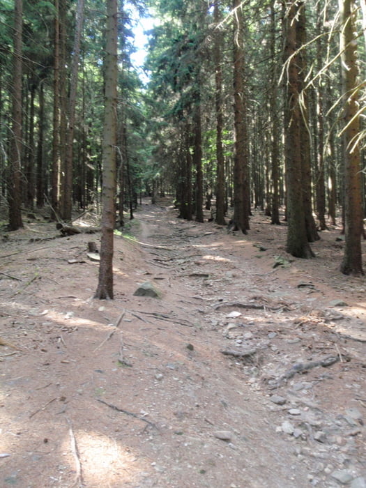
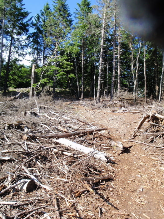
http://www.freidaach.de

Tour gallery

Tour map and elevation profile

  • Open Street Map
  • Google
Minimum height -169 m Maximum height 556 m Detailed view

More about the tour author

freidaach
Member since 2008

Send private message

Comments

obon on 09.05.2009

super tour, für fitter Biker

Sehr großer Trail-Anteil, einfach Klasse!
Man braucht eine richtig gute Kondition um den Altkönig-Trail bergauf zu schaffen. Eventuell muss man ein Stück schieben, aber trotzdem ein toller Tour.

GPS tracks

Trackpoints
  • GPX / Garmin Map Source (gpx) download
  • TCX / Garmin Training Center® (tcx) download
  • CRS / Garmin Training Center® (crs) download
  • Google Earth (kml) download
  • G7ToWin (g7t) download
  • TTQV (trk) download
  • Overlay (ovl) download
  • Fugawi (txt) download
  • Kompass (DAV) Track (tk) download
  • Track data sheet (pdf) download
  • Original file of the author (gpx) download

More about the tour author

freidaach
Member since 2008

Send private message
Share track
Add to my favorites
Remove from my favorites
Edit tags
My score
Rate
Track: Freidaach.de-Tour_080627
Type: Mountain bike
Distance: 32,0 km
Evaluated on:
Duration:
Day(s)
Hour(s)
Minute(s)
Score: Landscape Fun factor Fitness Technique