


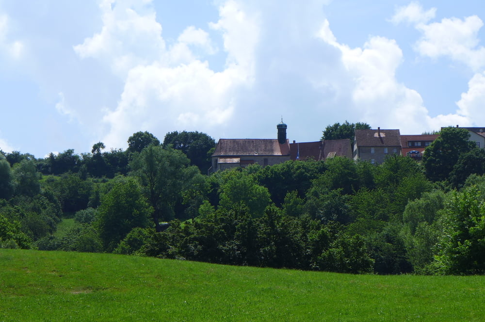
Diese kleine Tour ist nichts für Selbstgerechte, welche unter dem Vorwand politischer Korrektheit anderen ihre Sprache aufdrängen wollen. Es geht nämlich gen Schnittlinger Loch und Zigeunerloch.
Gestartet sind wir übrigens auf dem kostenlosen Großparkplatz in Spalt und haben auch eine Sightseeingtour quer durchs Zentrum mit eingebunden. Einkehren wäre eventuell unterwegs mit einem kleinen Umweg in dem Gasthaus Zur frischen Quelle in Hagsbronn möglich. Rastplätze sind nämlich Mangelware. Der Weg ist ausgeschildert und familientauglich, wenn auch teilweise etwas ausgesetzt.
Further information at
https://www.freiberg.de/Tour gallery


Tour map and elevation profile
Minimum height 369 m
Maximum height 491 m
More about the tour author
|
|
Saxoniaradler |
Comments

Spalt bzw. Schwabach liegen in der bayerischen Kolonie Franken und stehen unter Herrschaft des Imperators.
GPS tracks
Trackpoints-
GPX / Garmin Map Source (gpx) download
-
TCX / Garmin Training Center® (tcx) download
-
CRS / Garmin Training Center® (crs) download
-
Google Earth (kml) download
-
G7ToWin (g7t) download
-
TTQV (trk) download
-
Overlay (ovl) download
-
Fugawi (txt) download
-
Kompass (DAV) Track (tk) download
-
Track data sheet (pdf) download
-
Original file of the author (gpx) download
More about the tour author
|
|
Saxoniaradler |
Add to my favorites
Remove from my favorites
Edit tags
Open track
My score
Rate