


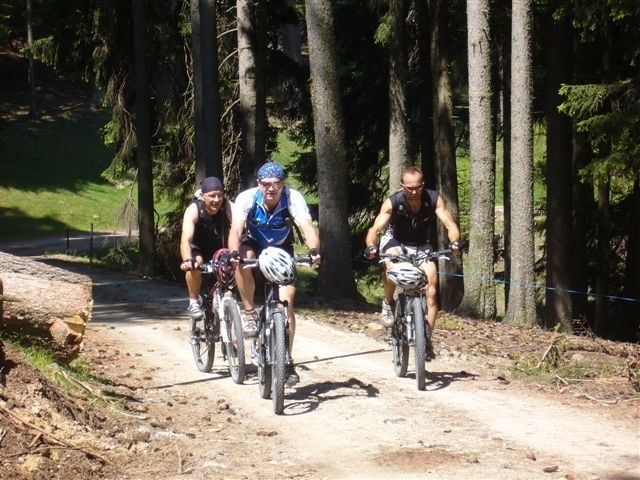
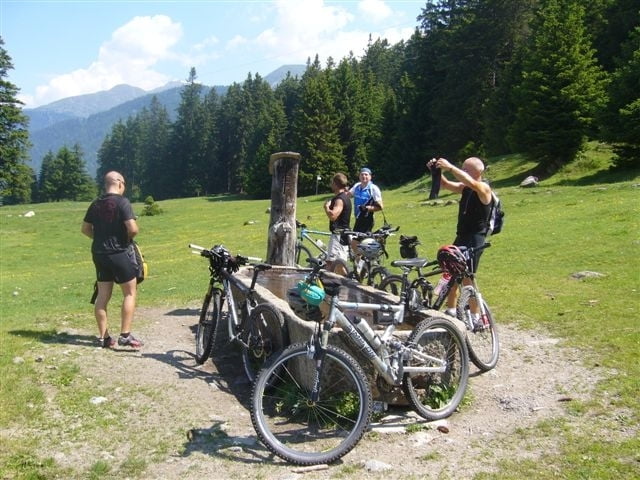
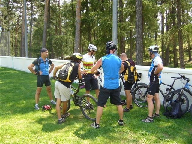
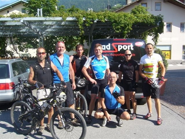
Von Prad aus auf dem Vinschgau Radweg nach Mals.Startpunkt der Tour ist der Ort Mals. Oberhalb vom Dorf schlängelt sich der Forstweg gemütlich am Sonnenberg entlang. Je nach Kondition könnt Ihr bis zu 3 Zusatzschleifen wählen, die längste führt bis ins heimelige Matscher Tal und über den Schludernser Sonnenberg retour nach Mals. Nach unserem Fahrtechnik training mit Siegi sind wir über den Vinschger Zugtrail zu unserem Hotel in Prad zurückgefahren.
Further information at
http://www.bikeshuttle.itTour gallery
Tour map and elevation profile
Minimum height 892 m
Maximum height 1609 m
More about the tour author
|
|
Uli |
Comments

Vom Reschen kommend in Spondinig rechts nach Prad
GPS tracks
Trackpoints-
GPX / Garmin Map Source (gpx) download
-
TCX / Garmin Training Center® (tcx) download
-
CRS / Garmin Training Center® (crs) download
-
Google Earth (kml) download
-
G7ToWin (g7t) download
-
TTQV (trk) download
-
Overlay (ovl) download
-
Fugawi (txt) download
-
Kompass (DAV) Track (tk) download
-
Track data sheet (pdf) download
-
Original file of the author (gpx) download
More about the tour author
|
|
Uli |
Add to my favorites
Remove from my favorites
Edit tags
Open track
My score
Rate