


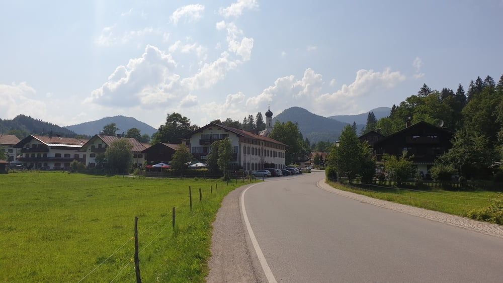
- Bad Tölz Blombergbahn (N47 44.877 E11 30.967)
- Sauersberg (N47 44.817 E11 31.473)
- Pestkapelle (N47 43.757 E11 32.283)
- Lehen (N47 43.423 E11 32.185)
- Schnait (N47 43.178 E11 32.428)
- Arzbach (Nähe Alpenbad) (N47 42.664 E11 33.114)
- Bei Lenggries (N47 40.958 E11 34.331)
- Bretonenbrücke (N47 39.498 E11 35.163)
- Langeneck (N47 39.073 E11 34.898)
- Leger (N47 38.372 E11 34.640)
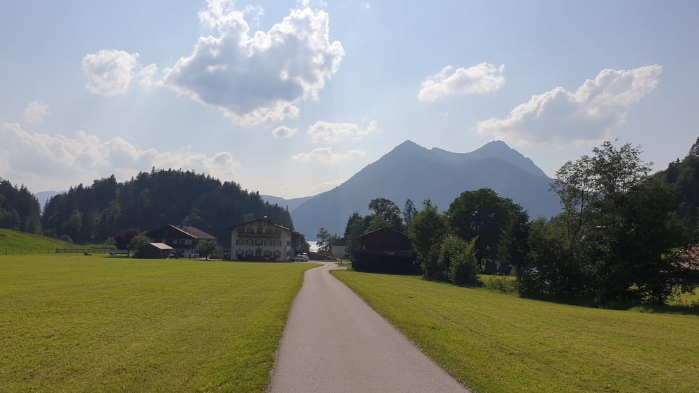
- Jachenautal (Bei Nähe Petern) (N47 36.985 E11 30.050)
- Reichenautal (N47 37.117 E11 29.640)
- Lainbachtal (N47 37.002 E11 26.282)
- Jachenau Dorf (N47 36.308 E11 26.368)
- Berg (N47 36.404 E11 25.144)
- Fieberkapelle (N47 36.347 E11 23.971)
- Sachenbach (N47 36.469 E11 22.183)
- Urfeld am Walchensee (N47 37.086 E11 20.763)
- Kesselbergsattel (N47 37.293 E11 20.952)
- Kochelsee (N47 38.646 E11 21.641)
- Kochel (N47 39.255 E11 21.773)
- Kochelsee (Trimini-Bad) (N47 39.332 E11 21.228)
- Rohrseemoos (N47 40.170 E11 22.045)
- Gschwendt (Alpenbad) (N47 41.851 E11 24.988)
- Hoftsätt (N47 43.026 E11 25.583)
- Steinbachbrücke (Nähe Obersteinbach) (N47 43.137 E11 25.677)
- Steinbachtrail (N47 43.291 E11 25.600)
- Achmühl (N47 44.481 E11 25.997)
- Schönau (N47 44.922 E11 26.665)
- Stallauer Bachtal (N47 45.367 E11 27.257)
- Ramsau (N47 45.386 E11 28.065)
- Hub (N47 45.244 E11 28.209)
- Wörnernhof (N47 45.143 E11 28.778)
- Gasthaus Wiesweber (N47 44.930 E11 29.427)
- Stallauer Weiher (N47 45.085 E11 29.463)
- Cafe Nirwana (N47 44.946 E11 30.679)
- Bad Tölz Blombergbahn (N47 44.876 E11 30.967)
- Sauersberg (N47 44.817 E11 31.473)
- Pestkapelle (N47 43.757 E11 32.283)
- Lehen (N47 43.423 E11 32.185)
- Schnait (N47 43.178 E11 32.428)
- Arzbach (Nähe Alpenbad) (N47 42.664 E11 33.114)
- Bei Lenggries (N47 40.958 E11 34.331)
- Bretonenbrücke (N47 39.498 E11 35.163)
- Langeneck (N47 39.073 E11 34.898)
- Leger (N47 38.372 E11 34.640)
- Jachenautal (Bei Nähe Petern) (N47 36.985 E11 30.050)
- Reichenautal (N47 37.117 E11 29.640)
- Lainbachtal (N47 37.002 E11 26.282)
- Jachenau Dorf (N47 36.308 E11 26.368)
- Berg (N47 36.404 E11 25.144)
- Fieberkapelle (N47 36.347 E11 23.971)
- Sachenbach (N47 36.469 E11 22.183)
- Urfeld am Walchensee (N47 37.086 E11 20.763)
- Kesselbergsattel (N47 37.293 E11 20.952)
- Kochelsee (N47 38.646 E11 21.641)
- Kochel (N47 39.255 E11 21.773)
- Kochelsee (Trimini-Bad) (N47 39.332 E11 21.228)
- Rohrseemoos (N47 40.170 E11 22.045)
- Gschwendt (Alpenbad) (N47 41.851 E11 24.988)
- Hoftsätt (N47 43.026 E11 25.583)
- Steinbachbrücke (Nähe Obersteinbach) (N47 43.137 E11 25.677)
- Steinbachtrail (N47 43.291 E11 25.600)
- Achmühl (N47 44.481 E11 25.997)
- Schönau (N47 44.922 E11 26.665)
- Stallauer Bachtal (N47 45.367 E11 27.257)
- Ramsau (N47 45.386 E11 28.065)
- Hub (N47 45.244 E11 28.209)
- Wörnernhof (N47 45.143 E11 28.778)
- Gasthaus Wiesweber (N47 44.930 E11 29.427)
- Stallauer Weiher (N47 45.085 E11 29.463)
- Cafe Nirwana (N47 44.946 E11 30.679)
- Bad Tölz Blombergbahn (N47 44.876 E11 30.967)
Tour gallery


Tour map and elevation profile
Minimum height 616 m
Maximum height 888 m
More about the tour author

|
Comments

Von München über die A8 bis zur Ausfahrt Holzkirchen fahren. Von dort in die Holzkirchener Innenstadt fahren und dann auf die B13 in in Richtung Bad Tölz abbiegen. Kurz vor Bad Tölz auf die B472 abbiegen und dieser über die Isar bis zum Parkpaltz an der Blombergbahn folgen.
GPS tracks
Trackpoints-
GPX / Garmin Map Source (gpx) download
-
TCX / Garmin Training Center® (tcx) download
-
CRS / Garmin Training Center® (crs) download
-
Google Earth (kml) download
-
G7ToWin (g7t) download
-
TTQV (trk) download
-
Overlay (ovl) download
-
Fugawi (txt) download
-
Kompass (DAV) Track (tk) download
-
Track data sheet (pdf) download
-
Original file of the author (tcx) download
More about the tour author
|
|
Add to my favorites
Remove from my favorites
Edit tags
Open track
My score
Rate