Login

Forgot your login?

Cookies have to be accepted!
Your browser's cookie functionality is disabled. Please enable this functionality.

Not a member yet?

Register now
Login

Available for registred users only

Log in to use this feature.

Forgot your login?

Cookies have to be accepted!
Your browser's cookie functionality is disabled. Please enable this functionality.

Not a member yet?

Register now
Filter
Categories
Advanced filters
  • Distance (km)
  • Height
Save filters Reset filter

TrackRank

QRCode

Technical data

Distance14,6 km Height50 m Way down40 m Duration04:52 h:m Date01.08.2021
Scores Author Landscape Fun factor Fitness Technique

Statistics

116 Views Scores 4 Downloads Average
Rate
  • Track data sheet
  • Directions
  • Downloads

Vom S-Bahnhof Köln Volhovener Weg über Esch, Thenhoven und Weiler zurück zum Ausgamgspunkt


Hinweis auf Karine Waldschmidt: Jenseits der Metropole, Kölner Stadt-Anzeiger vom 11. Mai 2021 Seite 26
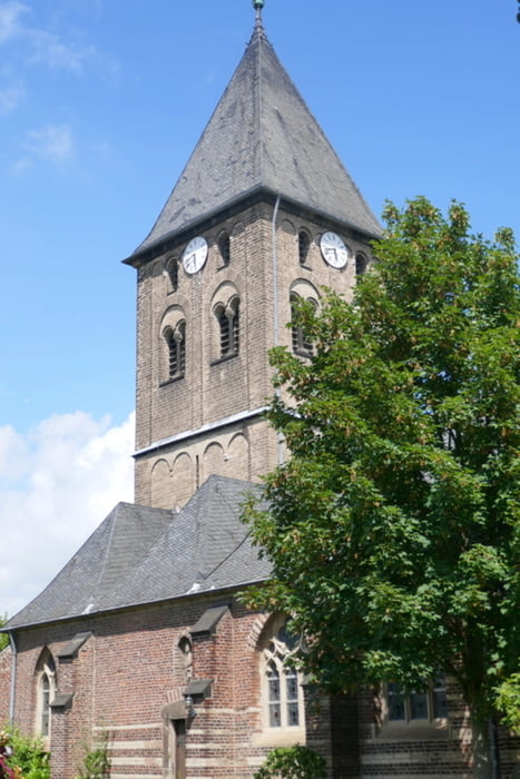
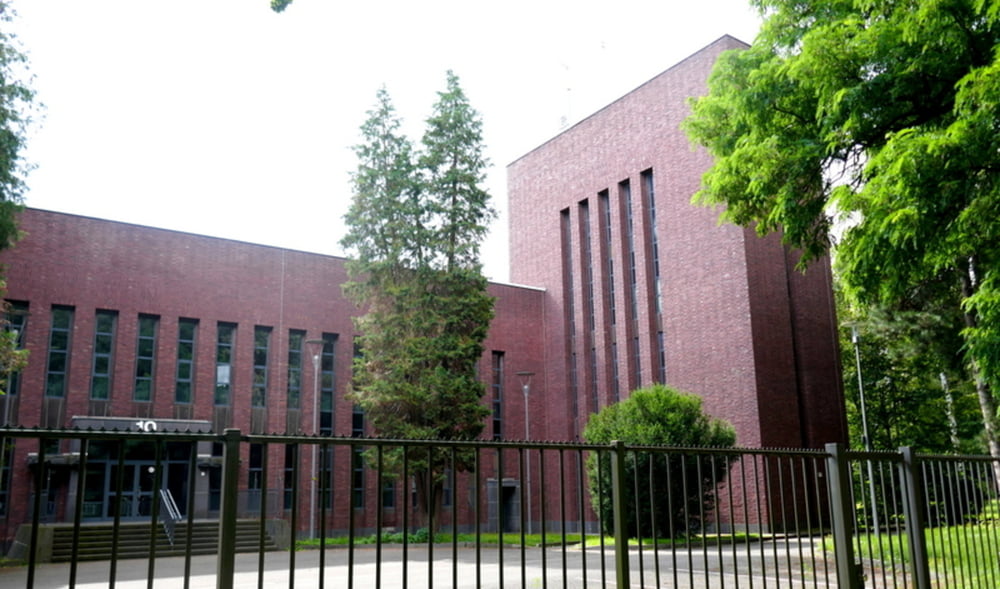
Tour gallery

Tour map and elevation profile

  • Open Street Map
  • Google
Minimum height 40 m Maximum height 59 m Detailed view

More about the tour author

horst1508
Member since 2012

Send private message

Comments

siehe oben 

GPS tracks

Trackpoints
  • GPX / Garmin Map Source (gpx) download
  • TCX / Garmin Training Center® (tcx) download
  • CRS / Garmin Training Center® (crs) download
  • Google Earth (kml) download
  • G7ToWin (g7t) download
  • TTQV (trk) download
  • Overlay (ovl) download
  • Fugawi (txt) download
  • Kompass (DAV) Track (tk) download
  • Track data sheet (pdf) download
  • Original file of the author (gpx) download

More about the tour author

horst1508
Member since 2012

Send private message
Share track
Add to my favorites
Remove from my favorites
Edit tags
My score
Rate
Track: Köln-Volkhoven-Esch-Thenhoven-Weiler
Type: Hiking
Distance: 14,6 km
Evaluated on:
Duration:
Day(s)
Hour(s)
Minute(s)
Score: Landscape Fun factor Fitness Technique