


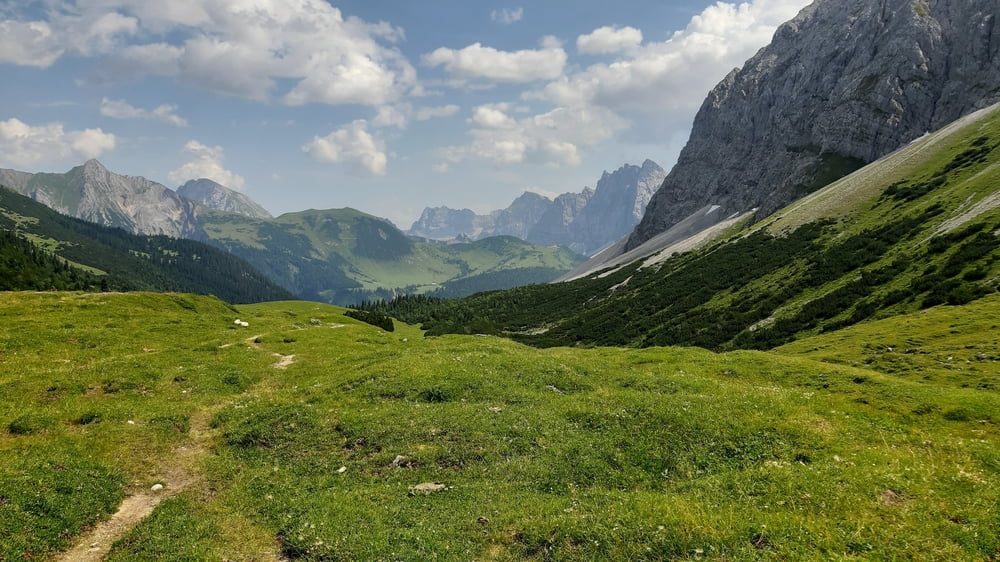
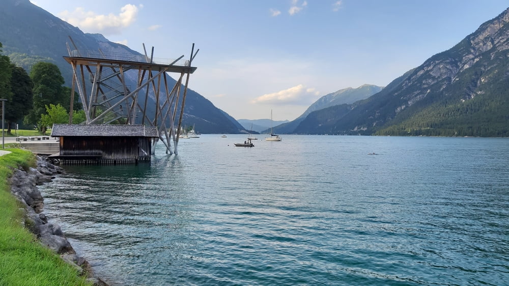
Die klassische Karwendeltour mit Hochalmsattel und Plumsjoch. Am Ende vom Achensee runter ins Inntal wollte ich einen besonderen Weg ausprobieren ... es ist dann eine Umrundung von Lärchenwiese und die offizielle MTB Abfahrt nach Wiesing geworden. Gut.
Die Abfahrt vom Hochalmsattel ist ein bisschen rumpelig aber gut fahrbar. Den Weg vom Plumsjoch runter zur Gernalm haben sie neu hergerichtet. Trotzdem ist Vorsicht geboten, weil es nach wie vor sehr steil ist.
Tour gallery


Tour map and elevation profile
Minimum height 600 m
Maximum height 1803 m
More about the tour author
|
|
mitter |
Comments

Anfahrt mit dem Zug nach Scharnitz. Start vom Bahnhof.
GPS tracks
Trackpoints-
GPX / Garmin Map Source (gpx) download
-
TCX / Garmin Training Center® (tcx) download
-
CRS / Garmin Training Center® (crs) download
-
Google Earth (kml) download
-
G7ToWin (g7t) download
-
TTQV (trk) download
-
Overlay (ovl) download
-
Fugawi (txt) download
-
Kompass (DAV) Track (tk) download
-
Track data sheet (pdf) download
-
Original file of the author (gpx) download
More about the tour author
|
|
mitter |
Add to my favorites
Remove from my favorites
Edit tags
Open track
My score
Rate