


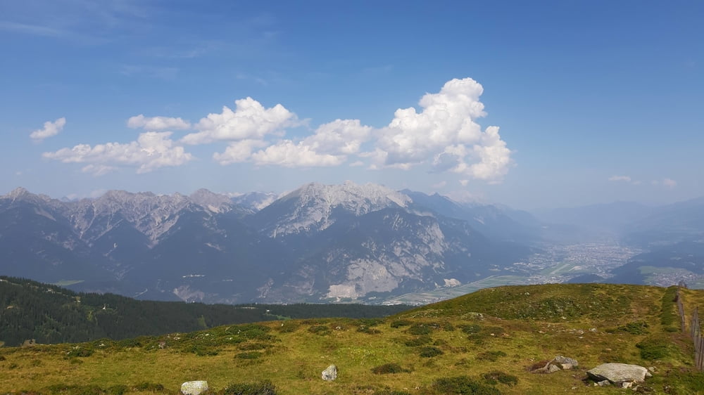
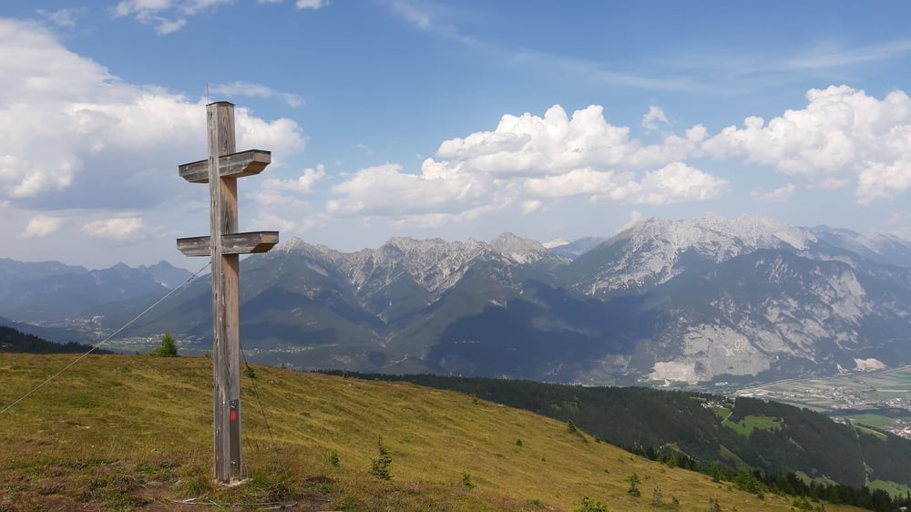
Anfahrt wäre über den Inntalradweg nach Kematen wohl gescheiter... Die Auffahrt zur Roßkogelhütte und zur Krimpenbachalm auf guter Schotterstraße, zwischendurch auch Asphalt. Ab der Krimpenbachalm beginnt eine ca 1 stündige einfache Schiebung rauf zum Kamm und runter Rg Sellrain. Großartige Ausblicke ins Sellraintal, auf die Nordkette und die Kalkkögel! Richtung Gries habe ich den schönen Panoramaweg genommen. Retour wieder über die Dörferstarße des westlichen Mittelgebirges.
Tour gallery


Tour map and elevation profile
Minimum height 576 m
Maximum height 2020 m
More about the tour author
|
|
mitter |
Comments

Start in IBK Wilten.
GPS tracks
Trackpoints-
GPX / Garmin Map Source (gpx) download
-
TCX / Garmin Training Center® (tcx) download
-
CRS / Garmin Training Center® (crs) download
-
Google Earth (kml) download
-
G7ToWin (g7t) download
-
TTQV (trk) download
-
Overlay (ovl) download
-
Fugawi (txt) download
-
Kompass (DAV) Track (tk) download
-
Track data sheet (pdf) download
-
Original file of the author (gpx) download
More about the tour author
|
|
mitter |
Add to my favorites
Remove from my favorites
Edit tags
Open track
My score
Rate