
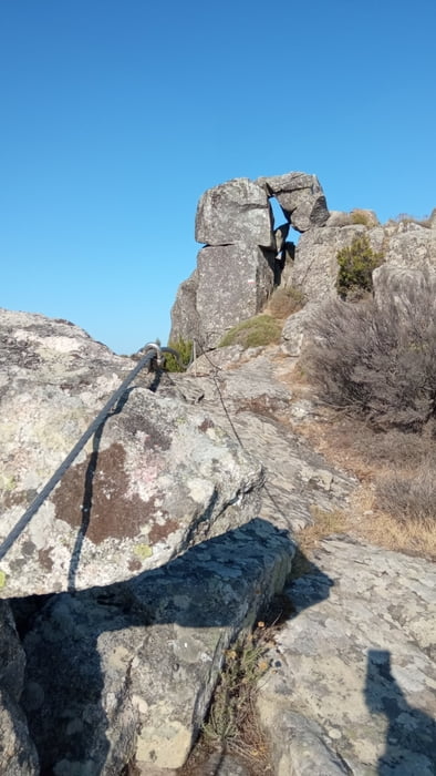

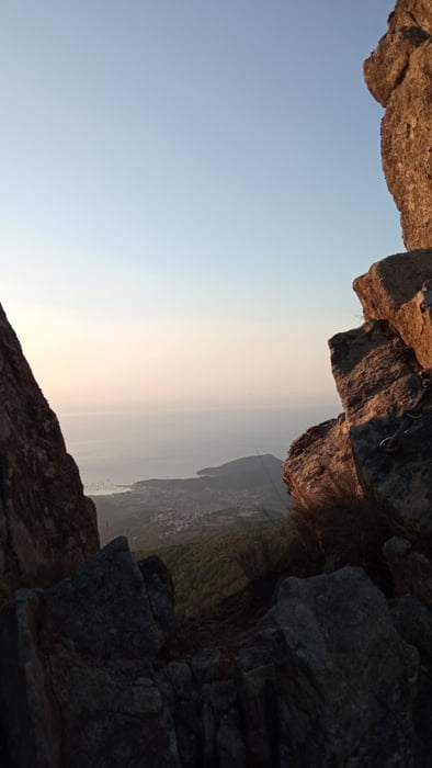
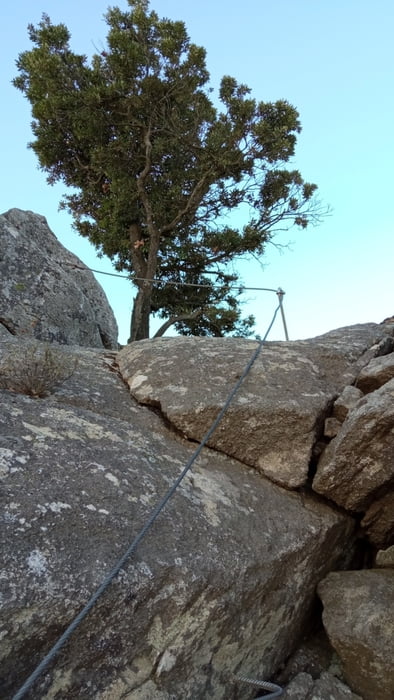
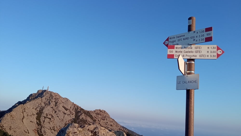
La grande ferrata elbana. Partendo dal monte perone si risale brevemente ma in modo ripido all'attacco della ferrata delle calanche, Tutto il percorso ferrato è segnalato con il numero 100, Si attraversano le calanche e si arriva a malpasso (filicaie). Si risale in cima al monte capanne dove con breve deviazione di tre minuti si arriva al bar monte capanne. Nel 2021 bar chiuso per mancanza del gestore, in caso di emergenza in estate è in funzione la funivia che riporta al paese di marciana. Oltrepassati i ripetitori si continua per ferrata verso il monte la galera e la tavola. Rimosso il set da ferrata indossato prima si puo scendere per sentiero verso l'abitato di pomonte. bagno in mare obbligatorio. buon giro buoni panorami e bellissime foto. ferrata facile ma con due brevi passaggi medio /difficili.
Further information at
https://www.islepark.itTour gallery
Tour map and elevation profile
Minimum height 103 m
Maximum height 1951 m
More about the tour author

|
mikyross |
Comments

italia toscana livorno isola d'elba marciana monte perone
GPS tracks
Trackpoints-
GPX / Garmin Map Source (gpx) download
-
TCX / Garmin Training Center® (tcx) download
-
CRS / Garmin Training Center® (crs) download
-
Google Earth (kml) download
-
G7ToWin (g7t) download
-
TTQV (trk) download
-
Overlay (ovl) download
-
Fugawi (txt) download
-
Kompass (DAV) Track (tk) download
-
Track data sheet (pdf) download
-
Original file of the author (gpx) download
More about the tour author
|
|
mikyross |
Add to my favorites
Remove from my favorites
Edit tags
Open track
My score
Rate