


- Oberwarngau Ortsmitte Nähe Gasthof Zur Post (N47 49.869 E11 43.363 / 724 m)
- Kapelle/Plateau auf dem Taubenberg (N47 49.650 E11 45.418 / 878 m)
- Taubenberg Turm (N47 49.648 E11 45.247 / 888 m)
- Nähe Kapelle Nüchternbrunn (N47 50.101 E11 45.006 / 523 m)
- Grüne Marter (N47 50.254 E11 45.421 / 780 m)
- Weiße Marter (N47 50.476 E11 46.032 / 766 m)
- Neustadl (N47 50.639 E11 46.498 / 793 m)
- Fentberg (N47 50.439 E11 47.713 / 753 m)
- Mangfalltal (N47 50.373 E11 48.281 / 630 m)
- Farnbachtal (N47 50.094 E11 48.168 / 641 m)
- Gasthaus Taubenberg (N47 49.765 E11 45.862 / 820 m)
- Kapelle Nüchternbrunn (N47 50.032 E11 45.012 / 804 m)
- Grüne Marter (N47 50.254 E11 45.421 / 780 m)
- Osterwarngau (N47 50.384 E11 44.388 / 727 m)
- Oberwarngau Ortsmitte Nähe Gasthof Zur Post (N47 49.869 E11 43.363 / 724 m)
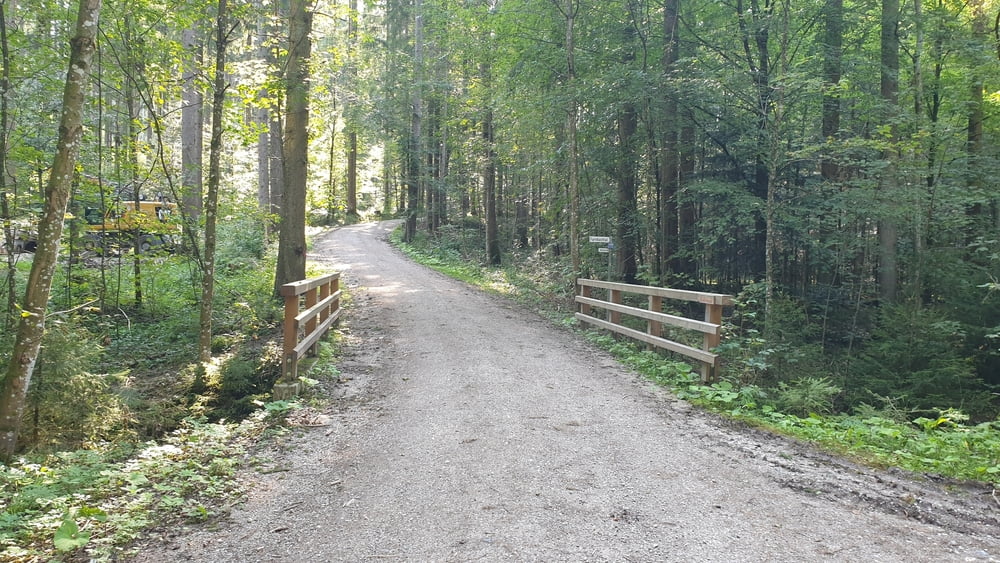
Tour gallery


Tour map and elevation profile
Minimum height 637 m
Maximum height 889 m
More about the tour author

|
Comments

A8 München Salzburg bis Ausfahrt Holzkirchen. Dann auf der B318 in Richtung Tegernsee halten. Von dieser in Warngau in Richtung Oberwarngau abzweigen und bis ins Ortszentrum zur Kirche fahren, In Oberwarngau gibt es mehrer öffentliche Parkplätze.
GPS tracks
Trackpoints-
GPX / Garmin Map Source (gpx) download
-
TCX / Garmin Training Center® (tcx) download
-
CRS / Garmin Training Center® (crs) download
-
Google Earth (kml) download
-
G7ToWin (g7t) download
-
TTQV (trk) download
-
Overlay (ovl) download
-
Fugawi (txt) download
-
Kompass (DAV) Track (tk) download
-
Track data sheet (pdf) download
-
Original file of the author (tcx) download
More about the tour author
|
|
Add to my favorites
Remove from my favorites
Edit tags
Open track
My score
Rate