


- Mühlthal (Abzweig Radwanderweg) (N47 51.900 E11 47.226 / 606 m)
- Mühlthal Nähe Landgasthof Bruckmühle (N47 51.900 E11 47.226 / 606 m)
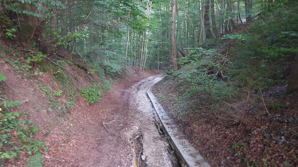
- Radwanderweg (Querung Bahngleis) (N47 50.694 E11 48.149 / 631 m)
- Mangfalltal (Nähe Thalham) (N47 50.371 E11 48.296 / 628 m)
- Farnbachtal (N47 50.094 E11 48.168 / 641 m)
- Westin (Beginn der Taubenberg Auffahrt) (N47 49.846 E11 48.129 / 665 m)
- Langenegger (N47 49.770 E11 47.838 / 706 m)
- Günderer (N47 49.694 E11 47.161 / 772 m)
- Marold (N47 49.693 E11 46.589 / 816 m)
- Gasthaus Taubenberg (N47 49.771 E11 45.857 / 822 m)
- Kapelle/Plateau (Auf dem Taubenberg) (N47 49.650 E11 45.418 / 878 m)
- Taubenberg Turm (N47 49.647 E11 45.250 / 888 m)
- Nähe Kapelle Nüchternbrunn (N47 50.101 E11 45.006 / 823 m)
- Grüne Marter (N47 50.254 E11 45.421 / 780 m)
- Weiße Marter (N47 50.476 E11 46.032 / 766 m)
- Neustadl (N47 50.639 E11 46.498 / 793 m)
- Oberdarching (N47 51.643 E11 46.579 / 668 m)
- Trail ins Mühlthal (N47 51.976 E11 46.972 / 657 m)
- Mühlthal am Landgasthof Bruckmühl (N47 51.943 E11 47.161 / 610 m)
- Mühlthal (Abzweig Radwanderweg) (N47 51.900 E11 47.226 / 606 m)
- Mühlthal Nähe Landgasthof Bruckmühle (N47 51.900 E11 47.226 / 606 m)
- Radwanderweg (Querung Bahngleis) (N47 50.694 E11 48.149 / 631 m)
- Mangfalltal (Nähe Thalham) (N47 50.371 E11 48.296 / 628 m)
- Farnbachtal (N47 50.094 E11 48.168 / 641 m)
- Westin (Beginn der Taubenberg Auffahrt) (N47 49.846 E11 48.129 / 665 m)
- Langenegger (N47 49.770 E11 47.838 / 706 m)
- Günderer (N47 49.694 E11 47.161 / 772 m)
- Marold (N47 49.693 E11 46.589 / 816 m)
- Gasthaus Taubenberg (N47 49.771 E11 45.857 / 822 m)
- Kapelle/Plateau (Auf dem Taubenberg) (N47 49.650 E11 45.418 / 878 m)
- Taubenberg Turm (N47 49.647 E11 45.250 / 888 m)
- Nähe Kapelle Nüchternbrunn (N47 50.101 E11 45.006 / 823 m)
- Grüne Marter (N47 50.254 E11 45.421 / 780 m)
- Weiße Marter (N47 50.476 E11 46.032 / 766 m)
- Neustadl (N47 50.639 E11 46.498 / 793 m)
- Oberdarching (N47 51.643 E11 46.579 / 668 m)
- Trail ins Mühlthal (N47 51.976 E11 46.972 / 657 m)
- Mühlthal am Landgasthof Bruckmühl (N47 51.943 E11 47.161 / 610 m)
- Mühlthal (Abzweig Radwanderweg) (N47 51.900 E11 47.226 / 606 m)
Tour gallery


Tour map and elevation profile
Minimum height 604 m
Maximum height 878 m
More about the tour author

|
Comments

Von München über die A8 bis zur Ausfahrt Weyarn. Von dort gnaz kurz der ST2073 bis zum Kriesverkehr folgen und diesen nach rechts verlassen und bis nach Mühlthal fahren. In Mühlthal gibt es gegenüber des Gasthauses Zur Bruckmühle einige Parkplätze.
GPS tracks
Trackpoints-
GPX / Garmin Map Source (gpx) download
-
TCX / Garmin Training Center® (tcx) download
-
CRS / Garmin Training Center® (crs) download
-
Google Earth (kml) download
-
G7ToWin (g7t) download
-
TTQV (trk) download
-
Overlay (ovl) download
-
Fugawi (txt) download
-
Kompass (DAV) Track (tk) download
-
Track data sheet (pdf) download
-
Original file of the author (tcx) download
More about the tour author
|
|
Add to my favorites
Remove from my favorites
Edit tags
Open track
My score
Rate