


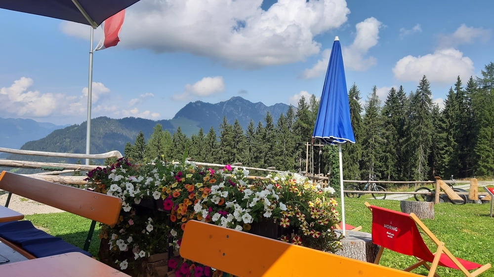
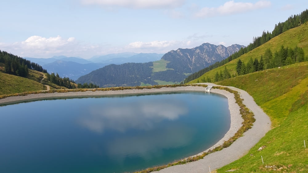
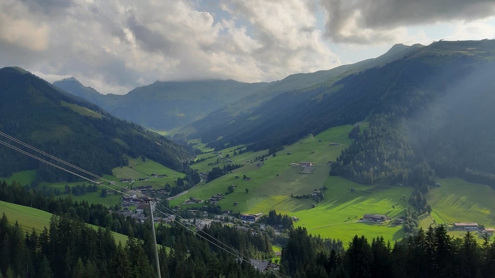
Vom Bahnhof in Jenbach geht's zunächst den Inntalradweg ca 7 km nach St. Gertraudi. Da beginnt die Steigung, ca 4 km ziemlich steil. Dann angenehm bis zum Kerschbaumer Sattel. Da steigts wieder ordentlich rauf Richtung Wildsauhütte. Sehr feines Plätzchen, wo man einfach, aber sehr gut essen kann. Früchtekuchen! Dann auf Schotter weiter zum Hornboden (Wiedersbergerhornbahn Bergstation), teilweise wieder steil. Von da rasant runter nach Inneralpbach. Da nehme ich dann den oberen Höhenweg vom Alpbachtal. Panorama! Über Alpbach und Reith i. A. zurück nach Jenbach.
Tour gallery

Tour map and elevation profile
Minimum height 527 m
Maximum height 1844 m
More about the tour author
|
|
mitter |
Comments

Start und Ziel in Jenbach am Bahnhof.
GPS tracks
Trackpoints-
GPX / Garmin Map Source (gpx) download
-
TCX / Garmin Training Center® (tcx) download
-
CRS / Garmin Training Center® (crs) download
-
Google Earth (kml) download
-
G7ToWin (g7t) download
-
TTQV (trk) download
-
Overlay (ovl) download
-
Fugawi (txt) download
-
Kompass (DAV) Track (tk) download
-
Track data sheet (pdf) download
-
Original file of the author (gpx) download
More about the tour author
|
|
mitter |
Add to my favorites
Remove from my favorites
Edit tags
Open track
My score
Rate