


Plau am See - Plötzenhöhe - Seeluster Bucht - Bad Stuer - Suckow - Satow - Kogel - Walow - Lexow - Hinrichsberg - Sietow - Schloss Kling / Müritz - Grabenitz - Wendhof - Göhren-Lebbin - Untergöhren - Malchow - Alt Schwerin - Mönchbusch - Karower Meiler - Quetzin - Plau am See!
Wege: Mischung aus Gelände und Teer!
Further information at
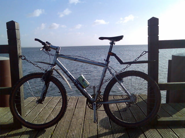
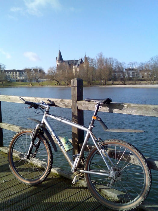
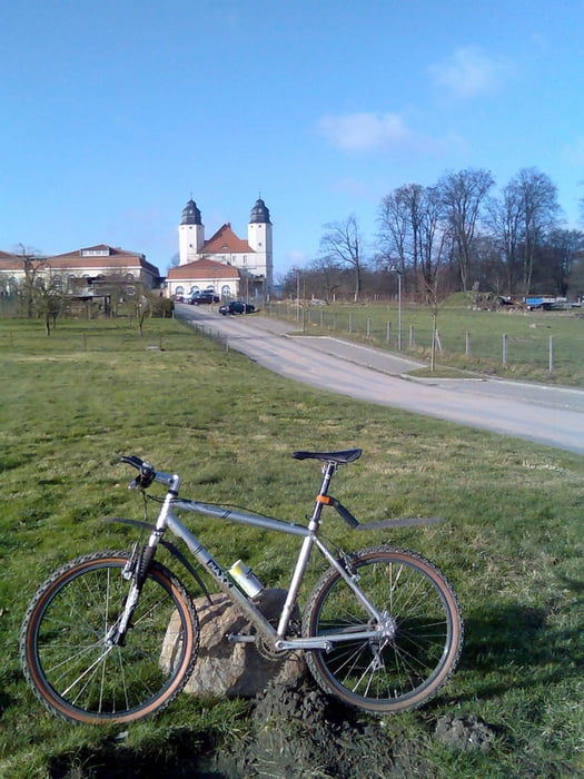
http://www.hegibiketours.deTour gallery
Tour map and elevation profile
Minimum height 26 m
Maximum height 110 m
More about the tour author
|
|
hegi |
Comments
Aus Richtung Autobahn A 24 komment (Abfahrt Meyenburg)Dann Richtung Meyenburg und auf der B 103 Richtung Plau!Start in Plau am See! Auf der Brücke der B103 über die Elde! Auto kann man ggf. vorm Plauer Rathaus oder am Hafenparkplatz abstellen!
GPS tracks
Trackpoints-
GPX / Garmin Map Source (gpx) download
-
TCX / Garmin Training Center® (tcx) download
-
CRS / Garmin Training Center® (crs) download
-
Google Earth (kml) download
-
G7ToWin (g7t) download
-
TTQV (trk) download
-
Overlay (ovl) download
-
Fugawi (txt) download
-
Kompass (DAV) Track (tk) download
-
Track data sheet (pdf) download
-
Original file of the author (gpx) download
More about the tour author
|
|
hegi |
Add to my favorites
Remove from my favorites
Edit tags
Open track
My score
Rate
Asphalt
nette Tour, die landschaftlich viel zu bieten hat.
Allerdings geht es zum Großteil auf Asphalt vorwärts, was mich ein wenig enttäuscht hat.
Deshalb: Eher Trekking als MTB.
Gruß