


- Rundkurs im Uhrzeigersinn.
- Start/Ziel: Tscherms/Dorfplatz.
- Einrollen auf Rad-/Nebenwegen nach Lana/Golfplatz "Brandis" KM 4,6-MH 290.
- Weiter bergauf auf dem Brandisweg, Schotter, kurze steile Abschnitte bis Tisens KM 7,9 - MH 619
- Weiter auf Wiesenwegen bis Prissian KM 11 - MH 600.
- Weiter auf Nebenwegen bis Grissian.
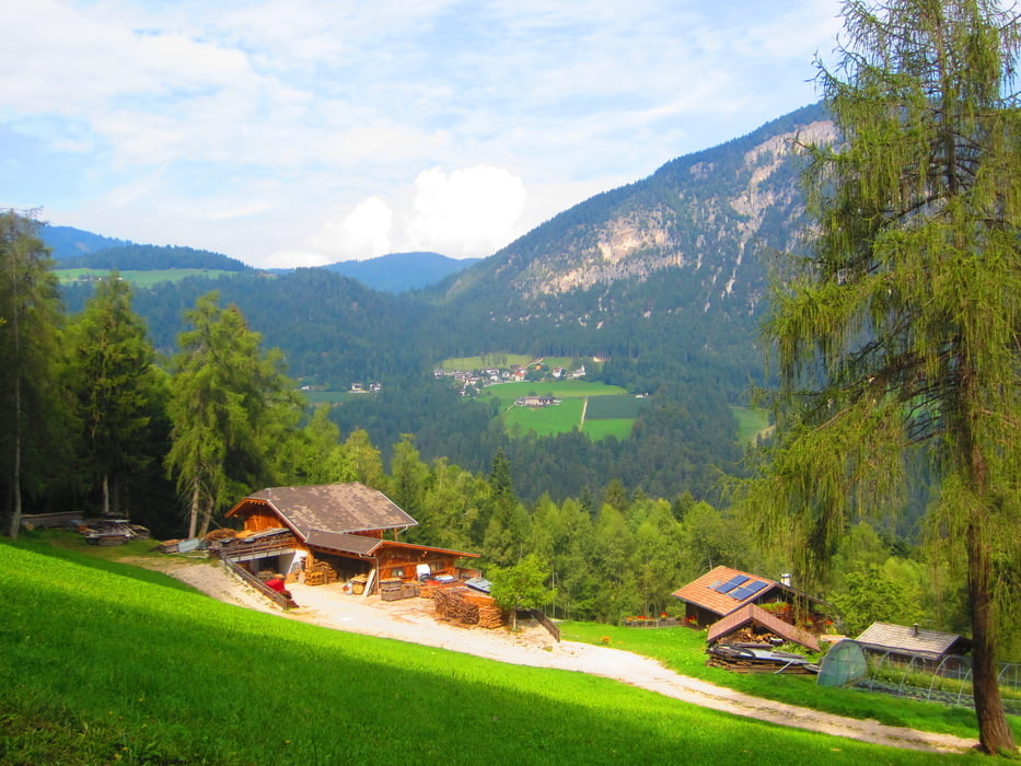
- Von Grissian auf Forstweg/Schotter, gleichmässig ansteigend bis Gfrillner Bad KM 20,3 - MH 1.170.
- Auf der breiten Staatsstrasse bis zur Abzweigung KM 21,7 - MH 1.260 nach Platzers KM 24 - MH 1.270 (Gasthof "NATZ", super Küche).
- Abfahrt auf Asfalt bis KM 25,5 - MH 1.157. Einen sehr steilen Karrenweg ca. 100 Meter berghoch schieben.
- Weiter auf Forstweg bis zu den Gallhöfen KM 28 - MH 1.238.
- Talwärts auf Asfalt nach Völlan KM 32,3 - MH 727.
- Auf dem Kastanien-Erlebnisweg bis zum Ansitz Helmsdorf KM 34 - MH 656.
- Steile Abfahrt auf Asfalt über Helmsdorf nach Lana KM 36,9 - MH 328.
- Auf Nebenwegen zum Ausgangspunkt, nach Tscherms KM 39,4 - MH 286.
- Bin die Tour mit dem E-Bike gefahren.
Tour gallery


Tour map and elevation profile
Minimum height 282 m
Maximum height 1291 m
More about the tour author
|
|
MargesinFriedrich |
Comments

GPS tracks
Trackpoints-
GPX / Garmin Map Source (gpx) download
-
TCX / Garmin Training Center® (tcx) download
-
CRS / Garmin Training Center® (crs) download
-
Google Earth (kml) download
-
G7ToWin (g7t) download
-
TTQV (trk) download
-
Overlay (ovl) download
-
Fugawi (txt) download
-
Kompass (DAV) Track (tk) download
-
Track data sheet (pdf) download
-
Original file of the author (gpx) download
More about the tour author
|
|
MargesinFriedrich |
Add to my favorites
Remove from my favorites
Edit tags
Open track
My score
Rate