


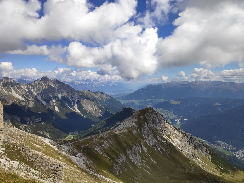
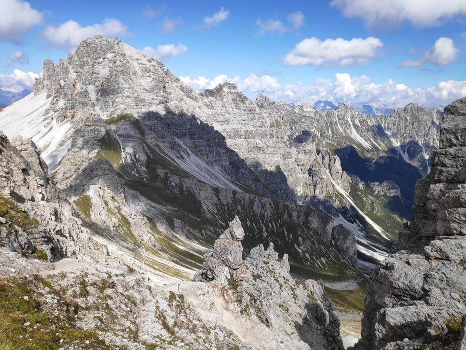
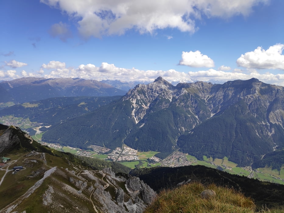
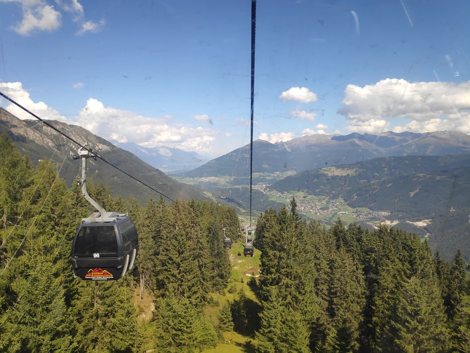
Bergtour mit ordentlich Höhenmetern. Vom Parkplatz oberhalb der Polizei in Neustift geht es auf steilem Steig zur Starkenburger Hütte. Nicht minder steil ist der anschließende Weg zum Hohen Burgstall (2.600m). Ab dann wird es allerdings mit dem Niederen Burgstall und dem Weg zurück zur Kreuzjochbahn eher gemütlich. Wir sind mit der Bahn abgefahren und mit dem Bus zurück nach Neustift. Ein Abstieg per Fuß ist natürlich ebenfalls möglich, allerdings sollte man dann deutlich mehr Zeit einplanen.
Tour gallery
Tour map and elevation profile
Minimum height 1034 m
Maximum height 2600 m
More about the tour author

|
klixx |
Comments

In Neustift kann oberhalb der Polizei auf dem Wanderparkplatz beim alten Freibad gratis geparkt werden.
GPS tracks
Trackpoints-
GPX / Garmin Map Source (gpx) download
-
TCX / Garmin Training Center® (tcx) download
-
CRS / Garmin Training Center® (crs) download
-
Google Earth (kml) download
-
G7ToWin (g7t) download
-
TTQV (trk) download
-
Overlay (ovl) download
-
Fugawi (txt) download
-
Kompass (DAV) Track (tk) download
-
Track data sheet (pdf) download
-
Original file of the author (gpx) download
More about the tour author
|
|
klixx |
Add to my favorites
Remove from my favorites
Edit tags
Open track
My score
Rate