


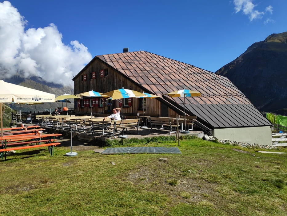
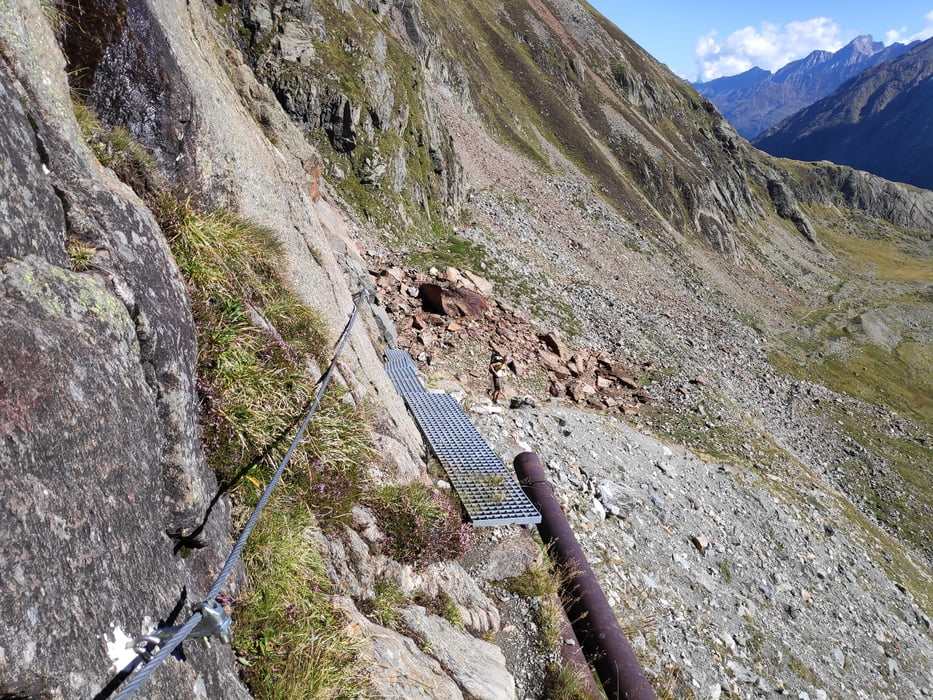
Vom Parkplatz der Sulzenauer Hütte über den Steig zur Sulzenau Alm und weiter zur Sulzenau Hütte. Dort den Weg zur Dresdner Hütte über das Peiljoch wählen. Hier gibt es 2 Varianten: die hier vorliegende, klassische Variante und den Wilden Wasser Weg. Sowohl im An- als auch im Abstieg gibt es einige seilgesicherte Passagen. Wir sind von der Dresdner Hütte noch per Lift zu Top of Tyrol gefahren, bevor wir dann wieder ins Tal abgefahren sind. Mit dem Bus ging es zurück zum Parkplatz (man kann die Strecke aber auch problemlos laufen; es ist nur eine Station).
Tour gallery

Tour map and elevation profile
Minimum height 1453 m
Maximum height 2658 m
More about the tour author

|
klixx |
Comments

Mit dem Auto oder Bus bis zur Haltestelle Sulzenauer Hütte. Dort kann umsonst geparkt werden. Bei gutem Wetter und/oder am Wochenende ist der Parkplatz aber irgendwann sehr voll, so dass an der Straße geparkt werden muss.
GPS tracks
Trackpoints-
GPX / Garmin Map Source (gpx) download
-
TCX / Garmin Training Center® (tcx) download
-
CRS / Garmin Training Center® (crs) download
-
Google Earth (kml) download
-
G7ToWin (g7t) download
-
TTQV (trk) download
-
Overlay (ovl) download
-
Fugawi (txt) download
-
Kompass (DAV) Track (tk) download
-
Track data sheet (pdf) download
-
Original file of the author (gpx) download
More about the tour author
|
|
klixx |
Add to my favorites
Remove from my favorites
Edit tags
Open track
My score
Rate