


Die Tour führt von Mals über Glurns nach Latsch.
Nach dem Bahnhof Mals nach Glurns rollen, dort beginnt meine Aufzeichnung.
Normalerweise immer am Hang entlang. Aufgrund der großen Hitze an diesem Tag haben wir die Tour etwas einfacher gestaltet und sind einige Kilometer auf der Via Claudia gerollt. In Prad haben wir uns kurz verfahren (Richtung Stilfzer-Joch.) Die Tour ist Top und hat einige technische Passagen zu bieten. Ist aber als anspruchsvolle Genußtour einzustufen.
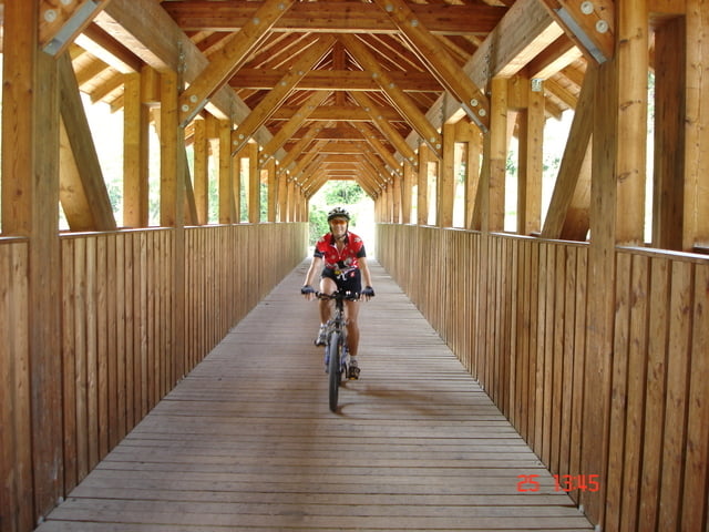
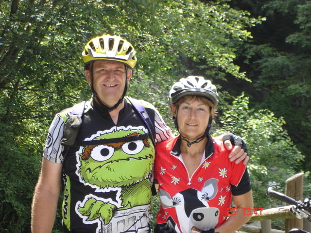
Tour gallery
Tour map and elevation profile
Minimum height 659 m
Maximum height 1053 m
More about the tour author
|
|
Dyroff |
Comments

Mit dem Vinschgau Express bis nach Mals
GPS tracks
Trackpoints-
GPX / Garmin Map Source (gpx) download
-
TCX / Garmin Training Center® (tcx) download
-
CRS / Garmin Training Center® (crs) download
-
Google Earth (kml) download
-
G7ToWin (g7t) download
-
TTQV (trk) download
-
Overlay (ovl) download
-
Fugawi (txt) download
-
Kompass (DAV) Track (tk) download
-
Track data sheet (pdf) download
-
Original file of the author (gpx) download
More about the tour author
|
|
Dyroff |
Add to my favorites
Remove from my favorites
Edit tags
Open track
My score
Rate