Login

Forgot your login?

Cookies have to be accepted!
Your browser's cookie functionality is disabled. Please enable this functionality.

Not a member yet?

Register now
Login

Available for registred users only

Log in to use this feature.

Forgot your login?

Cookies have to be accepted!
Your browser's cookie functionality is disabled. Please enable this functionality.

Not a member yet?

Register now
Filter
Categories
Advanced filters
  • Distance (km)
  • Height
Save filters Reset filter

TrackRank

QRCode

Technical data

Distance9,6 km Height222 m Way down178 m Duration00:02 h:m Date12.09.2021
Scores Author Landscape Fun factor Fitness Technique

Statistics

68 Views Scores 5 Downloads Average
Rate
  • Track data sheet
  • Directions
  • Downloads

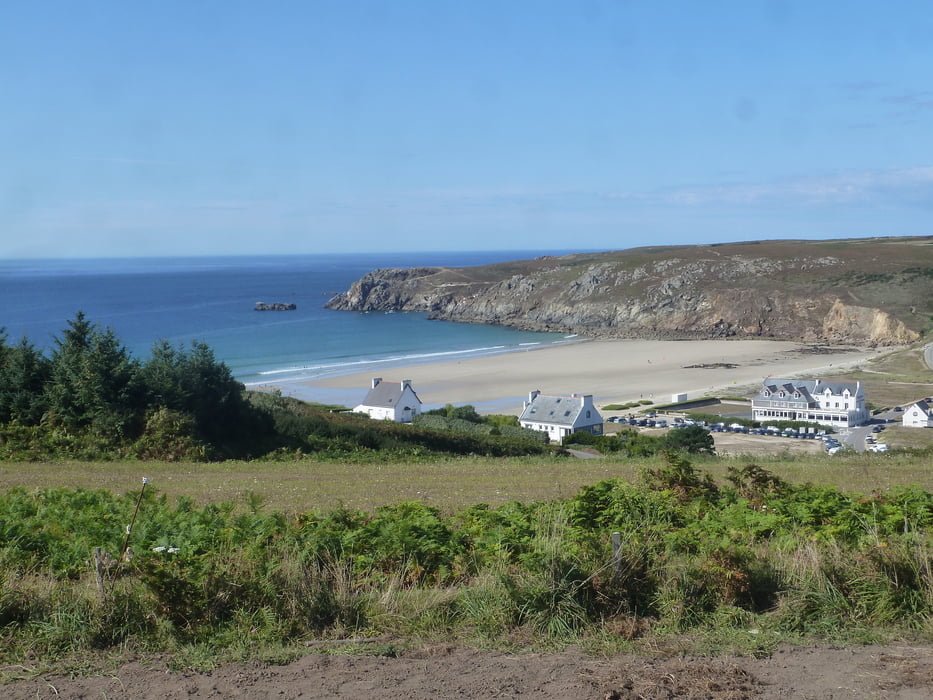
Sehr schöne Tour entlang der Steilküste mit herrlichen Blicken auf's Meer.

Leider hat das GPS ein Stück weit ausgesetzt. Aber der Pfad ergibt sich von selbst. Immer der Steilküste entlang.
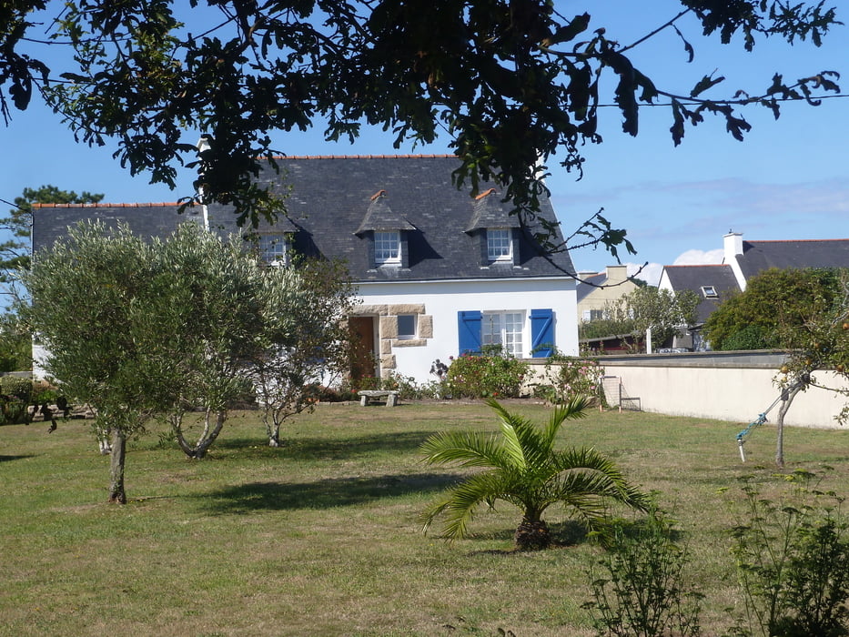
Tour gallery

Tour map and elevation profile

  • Open Street Map
  • Google
Minimum height -37 m Maximum height 75 m Detailed view

More about the tour author

buehlems
Member since 2008

Send private message

Comments

GPS tracks

Trackpoints
  • GPX / Garmin Map Source (gpx) download
  • TCX / Garmin Training Center® (tcx) download
  • CRS / Garmin Training Center® (crs) download
  • Google Earth (kml) download
  • G7ToWin (g7t) download
  • TTQV (trk) download
  • Overlay (ovl) download
  • Fugawi (txt) download
  • Kompass (DAV) Track (tk) download
  • Track data sheet (pdf) download
  • Original file of the author (gpx) download

More about the tour author

buehlems
Member since 2008

Send private message
Share track
Add to my favorites
Remove from my favorites
Edit tags
My score
Rate
Track: Pointe du Raz
Type: Hiking
Distance: 9,6 km
Evaluated on:
Duration:
Day(s)
Hour(s)
Minute(s)
Score: Landscape Fun factor Fitness Technique