


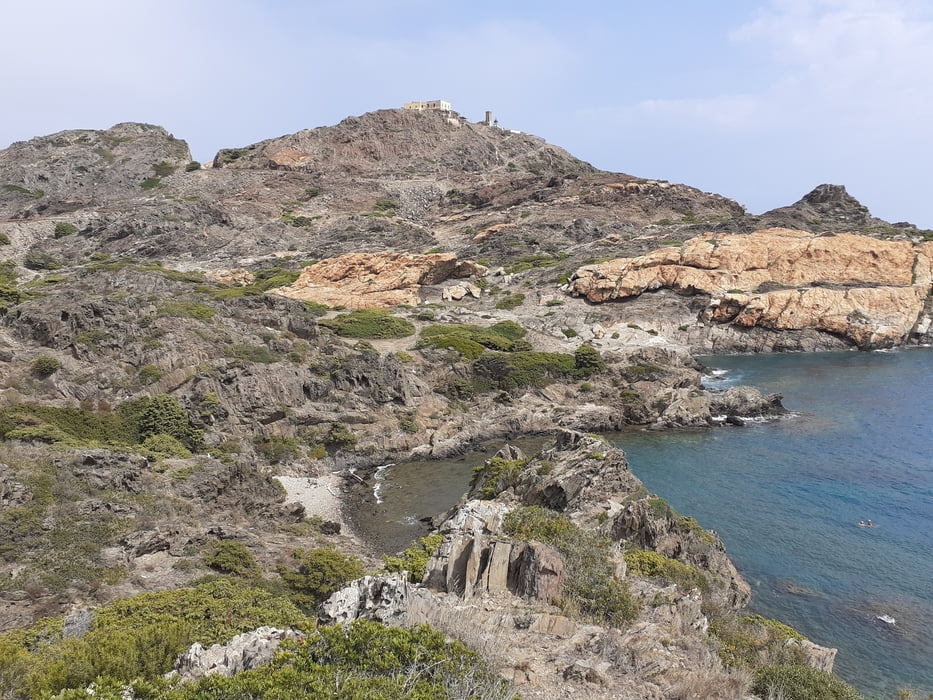
Vom Hafen wird das Kap Punbta de la Creu umrundet, dann über bewaldete Hügelketten vorbei an einer Ruinensiedlung zur romanischen Kirche Sant Baldiri. Weiter durch das Landesinnere zu einem unkonventionellen Wegweiser und zum östlichsten Punkt Spaniens: dem Cap de Creus.
Mit freiem Blikc auf die Küste südlich des Kaps geht es auf dem Küstenpfad vorbei am ehemaligen Wohnhaus von Salvador Dali in Portlligat nach Cadaques.
Tour gallery


Tour map and elevation profile
Minimum height -31 m
Maximum height 192 m
More about the tour author

|
JoHangler |
Comments

GPS tracks
Trackpoints-
GPX / Garmin Map Source (gpx) download
-
TCX / Garmin Training Center® (tcx) download
-
CRS / Garmin Training Center® (crs) download
-
Google Earth (kml) download
-
G7ToWin (g7t) download
-
TTQV (trk) download
-
Overlay (ovl) download
-
Fugawi (txt) download
-
Kompass (DAV) Track (tk) download
-
Track data sheet (pdf) download
-
Original file of the author (gpx) download
More about the tour author
|
|
JoHangler |
Add to my favorites
Remove from my favorites
Edit tags
Open track
My score
Rate