

- Start/Ziel: Vieste-Camping Molinella.
- Fahrtrichtung: gegen den Uhrzeigersinn.
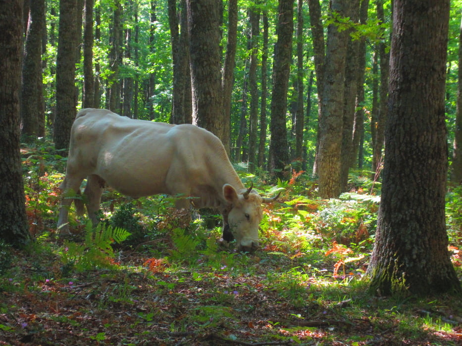
- Klassischer Rundkurs durch die Foresta Umbra.
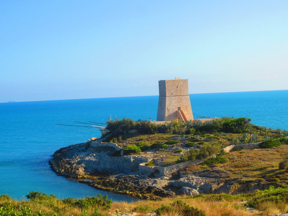
- Bis KM 2 an der Steilküste entlang.
- Von KM 2,3 - 5,3 Provinzstrasse/wenig Verkehr. (4.Oktober)
- Von KM 5,3 - 10 sekundäre Provinzstrasse/kein Verkehr.
- Von KM 10 Strasse sanft ansteigend bis KM 13 - MH 250.
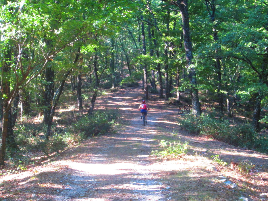
- KM 13 - MH 250 beginnt der Forstweg bis Rifugio/Gasthof Sfilzi KM 21,4 - MH 675.
- KM 26,8 - MH 783 Trattoria Foresta Umbra.
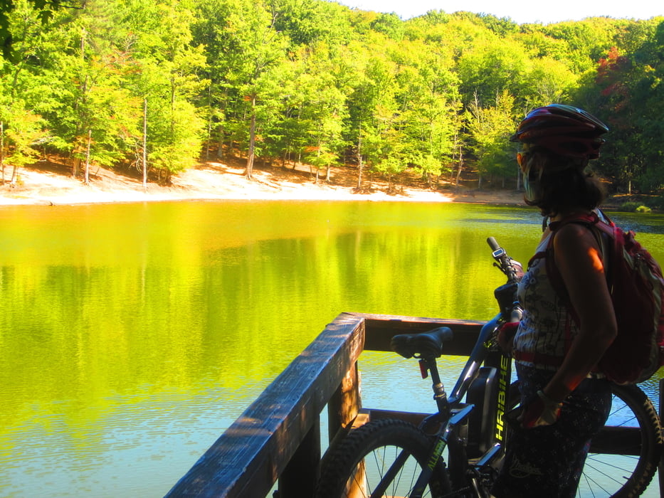
- KM 27 - MH 776 kleiner See: Laghetto Umbra.
- Bis KM 32,2 - MH 780 flowiger Waldweg/kompakter Untergrund.
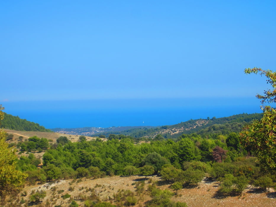
- Bei KM 44,8 - MH 350 gibt der Buchen- Eichenwald den ersten freien Blick auf die Landschaft frei.
- Ab KM 53 auf Asfalt zurück zum Ausgangspunkt.
- Die Wegbeschaffenheit der Forstwege ist grobschottrig/steinig. Ein MTB-Fully ist angesagt.
- Ich bin die Tour mit dem E-Bike gefahren.
- Die Aufstiege sind teilweise mittelsteil mit kurzen knackigen Teilstücken.
- Die Abfahrten meist etwas holprig(grobschottrig/steinig.
- Der Wald als solcher ist wunderschön.
- Schwierigkeitsgrad: S0, kurze Passagen S1
- Von KM 13-44 100% Schatten.
Tour gallery

Tour map and elevation profile
Minimum height -27 m
Maximum height 797 m
More about the tour author
|
|
MargesinFriedrich |
Comments

GPS tracks
Trackpoints-
GPX / Garmin Map Source (gpx) download
-
TCX / Garmin Training Center® (tcx) download
-
CRS / Garmin Training Center® (crs) download
-
Google Earth (kml) download
-
G7ToWin (g7t) download
-
TTQV (trk) download
-
Overlay (ovl) download
-
Fugawi (txt) download
-
Kompass (DAV) Track (tk) download
-
Track data sheet (pdf) download
-
Original file of the author (gpx) download
More about the tour author
|
|
MargesinFriedrich |
Add to my favorites
Remove from my favorites
Edit tags
Open track
My score
Rate