


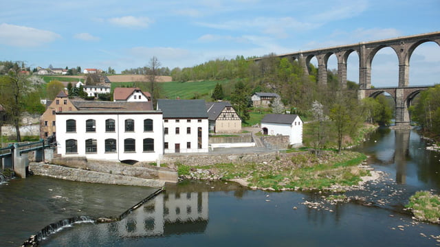
Start der Tour ins in Meerane. Von da aus geht es über Wechselburg entlang der Zwickauer Mulde und später der Chemnitz. Kurz vor Chemnitz welches man rechts liegen lässt ist das nächste Ziel dann Flöha mit Sicht auf die Augustusburg. Von da an wird es Bergig und man fängt an Höhenmeter zu sammeln. Aber die Landschaft entschädig dafür.
Further information at
http://www.augustusburg.deTour gallery
Tour map and elevation profile
Minimum height 174 m
Maximum height 480 m
More about the tour author
|
|
dd72 |
Comments

Meerane-Waldenburg-Wechselburg-Lichtenau-Flöha-Augustusburg-Einsiedel-Mittelbach-Hohenstein Ernstthal-Glauchau
GPS tracks
Trackpoints-
GPX / Garmin Map Source (gpx) download
-
TCX / Garmin Training Center® (tcx) download
-
CRS / Garmin Training Center® (crs) download
-
Google Earth (kml) download
-
G7ToWin (g7t) download
-
TTQV (trk) download
-
Overlay (ovl) download
-
Fugawi (txt) download
-
Kompass (DAV) Track (tk) download
-
Track data sheet (pdf) download
-
Original file of the author (gpx) download
More about the tour author
|
|
dd72 |
Add to my favorites
Remove from my favorites
Edit tags
Open track
My score
Rate