


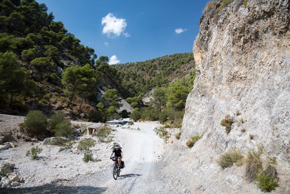
Radtour (MTB mit Gepäckträger) durch Andalusien, größtenteils auf der #Transandalus - ohne die Bezirke Almeria u. Cordoba. Zwischen Andujar und Sevilla wurde der Zug genutzt (täglich, nachmittags). Offroad-Anteil ca. 50%, meist auf gut fahrbaren Pisten (Schieben: ca. 1%). Landschaftlich traumhaft durch sehr viele Parces Naturel oder National. Übernachtung in Hotels entlang der Strecke. Das Original gibt es bei transandalus.org . Wir haben die ganz "giftigen" Streckenabschnitte, mit zu viel Schiebeanteilen, weg gelassen und sind hier auf die Straße ausgewichen. Eine Beschreibung der Tour gibt`s auf rodilladepain.blogspot.com
Gesamtstrecke: 1400km, täglich ca. 600-900 Höhenmeter, Zeitansatz: 4,5 Wochen, bei 23 Fahrtagen u. täglich 1 Ruhetag
Further information at
https://rodilladepain.blogspot.comEinschränkungen
On this tour there is a cycling ban on 1 kilometers!
This tour has a carry or push section on 3 kilometers
Tour gallery


Tour map and elevation profile
Minimum height -26 m
Maximum height 2019 m
More about the tour author
|
|
eisenbereifter3 |
Comments

Direktflug Malaga
Einschränkungen
On this tour there is a cycling ban on 1 kilometers!
This tour has a carry or push section on 3 kilometers
GPS tracks
Trackpoints-
GPX / Garmin Map Source (gpx) download
-
TCX / Garmin Training Center® (tcx) download
-
CRS / Garmin Training Center® (crs) download
-
Google Earth (kml) download
-
G7ToWin (g7t) download
-
TTQV (trk) download
-
Overlay (ovl) download
-
Fugawi (txt) download
-
Kompass (DAV) Track (tk) download
-
Track data sheet (pdf) download
-
Original file of the author (gpx) download
More about the tour author
|
|
eisenbereifter3 |
Add to my favorites
Remove from my favorites
Edit tags
Open track
My score
Rate