


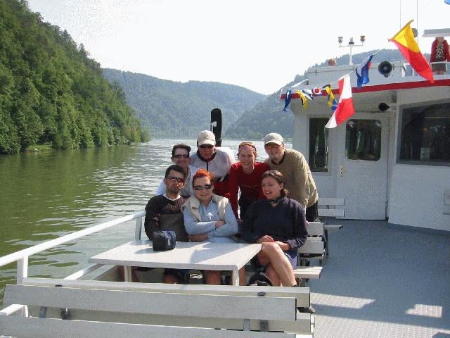
Gemuetliche Radwanderung entlang der Donau. Landschaftlich sehr reizvoll und auch fuer nicht so geuebte Radfahrer machbar, da die Rueckfahrt mit dem Schiff bewaeltigt wird. Entlang der Strecke gibt es immer wieder Einkehrmoeglichkeiten. Das Essen am Schiff ist nicht zu Empfehlen!
(Fahrplan Schiffe siehe link)
(Fahrplan Schiffe siehe link)
Further information at
http://www.wurm-koeck.deTour gallery
Tour map and elevation profile
Minimum height 261 m
Maximum height 302 m
More about the tour author

|
juergen |
Comments

von Eferding richtung Aschach auf der B130 - auf ca. halben Weg rechts nach Brandstatt - dort sind genuegend Parkmoeglichkeiten vorhand (Schiffsanlegestelle ist keine 50m entfernt)
GPS tracks
Trackpoints-
GPX / Garmin Map Source (gpx) download
-
TCX / Garmin Training Center® (tcx) download
-
CRS / Garmin Training Center® (crs) download
-
Google Earth (kml) download
-
G7ToWin (g7t) download
-
TTQV (trk) download
-
Overlay (ovl) download
-
Fugawi (txt) download
-
Kompass (DAV) Track (tk) download
-
Track data sheet (pdf) download
-
Original file of the author (g7t) download
More about the tour author
|
|
juergen |
Add to my favorites
Remove from my favorites
Edit tags
Open track
My score
Rate