


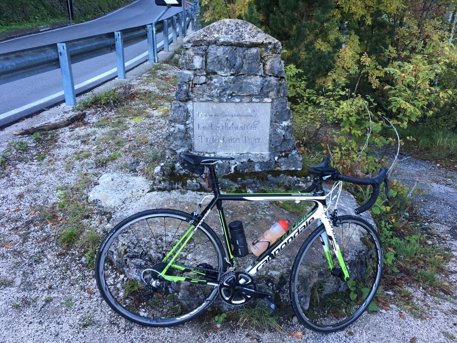
Lago di Levico - Kaiserjägerstrasse - P.so Vezzena - Serpentinenstrasse ins Val'Astico (tiefster Punkt).
Hier Abkürzungsmöglichkeit direkt nach Carbonare aufzufahren.
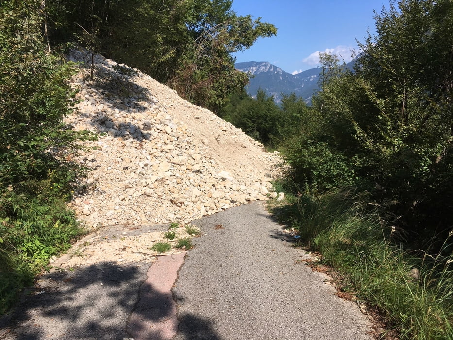
Meine gewählte Route war wegen Erdrutsch gesperrt, da ich es aber trotzdem versuchte, musste ich mehrmals das Rad über einen Schuttkegel tragen (siehe Foto). Alternativ müsste man 5 Km Richtung Süden bis nach Arsiero fahren und hier die SP 64 hinauf nach Tonezza del Cimone nehmen und nach 6 Km trifft man wieder auf diese Tour.
P.so Valbona (1776m) höchster Punkt - P.so Coe - P.so del Sommo - P.so della Fricca - Lago di Caldonazzo
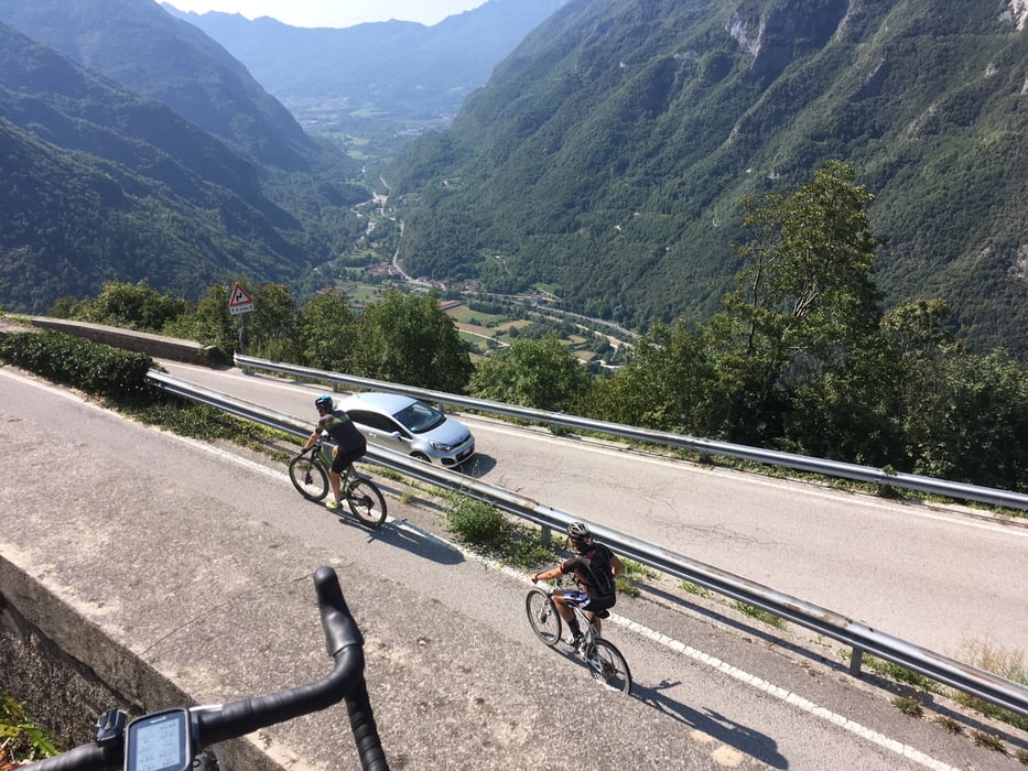
Die Tour erfolgt auf meist verkehrsarmen Strassen. Kann im Sommer eventuell heiss sein.
Further information at
https://www.visittrentino.info/it/guida/sport-estate/ciclismo#bm=oac%3Asummer&cat=Bici%20da%20corsa&filter=r-fullyTranslatedLangus-,r-onlyOpened-,sb-sortedBy-0&ov=alerts&zc=9,10.99457,46.04464Einschränkungen
This tour has a carry or push section on 1 kilometers
Tour gallery
Tour map and elevation profile
Minimum height 321 m
Maximum height 1760 m
More about the tour author
|
|
Califan |
Comments

Anfahrt von Trient über die Schnellstrasse nach Valsugana/Padova, Ausfahrt Baselga di Piné/Civezzano
Einschränkungen
This tour has a carry or push section on 1 kilometers
GPS tracks
Trackpoints-
GPX / Garmin Map Source (gpx) download
-
TCX / Garmin Training Center® (tcx) download
-
CRS / Garmin Training Center® (crs) download
-
Google Earth (kml) download
-
G7ToWin (g7t) download
-
TTQV (trk) download
-
Overlay (ovl) download
-
Fugawi (txt) download
-
Kompass (DAV) Track (tk) download
-
Track data sheet (pdf) download
-
Original file of the author (gpx) download
More about the tour author
|
|
Califan |
Add to my favorites
Remove from my favorites
Edit tags
Open track
My score
Rate