


- Rundkurs im Uhrzeigersinn.
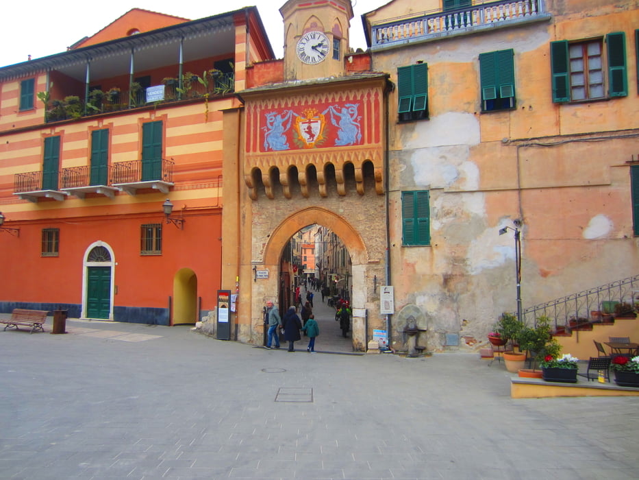
- Start/Ziel: Finalborgo.
- Auf ruppiger, steiniger Strasse bis KM 2,4-MH 316. Der linken Spur folgen. An der nachsten Spur-Gabelung wieder links halten. Die Schleife auslassen, da der Weg nach Borgio Verezzi am oberen Ende des Steinbruchs versperrt ist.
- Von Borgio Verezzi auf Asfalt bis Verezzi.
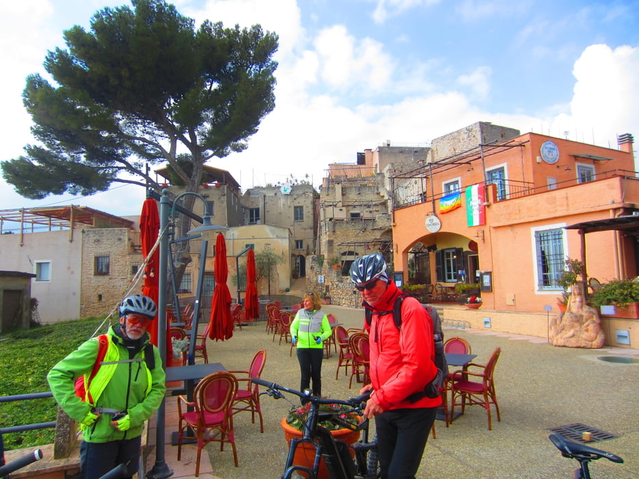
- Ein Zwischenstop im Restaurant "Antica Societa" lohnt sich. (Papardelle alle Vongole e Carciofi)
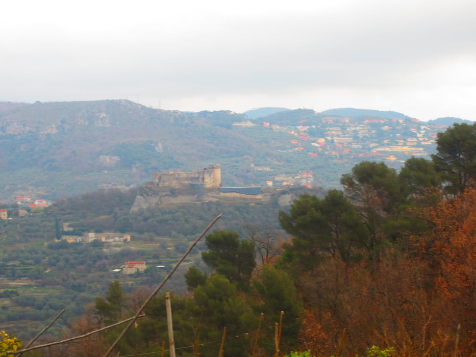
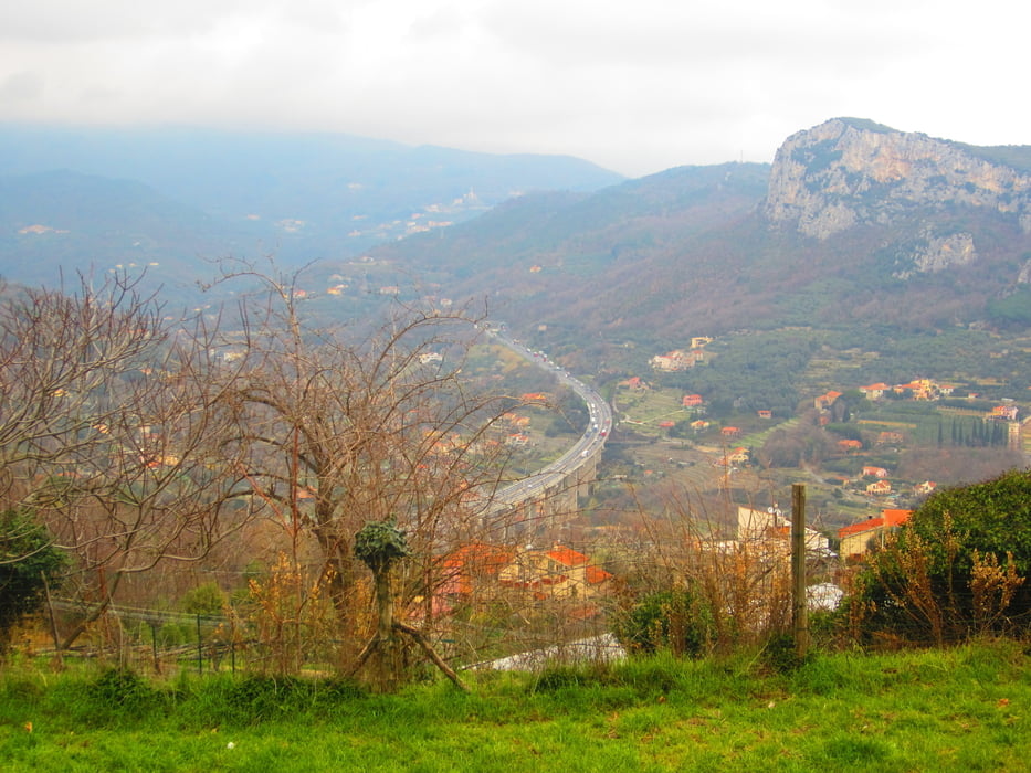
- Anschliessend zur Kirche "San Martino" (Bar-Imbiss). Herrliche Aussicht.
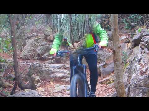
- Weiter auf teilweise verblocktem Weg. Kurze Schiebepassagen.
- Die anschliessende Abfahrt nach Finalborgo ist flowig mit wenigen technischen Abschnitten.
Tour gallery
Tour map and elevation profile
Minimum height 77 m
Maximum height 415 m
More about the tour author
|
|
MargesinFriedrich |
Comments

GPS tracks
Trackpoints-
GPX / Garmin Map Source (gpx) download
-
TCX / Garmin Training Center® (tcx) download
-
CRS / Garmin Training Center® (crs) download
-
Google Earth (kml) download
-
G7ToWin (g7t) download
-
TTQV (trk) download
-
Overlay (ovl) download
-
Fugawi (txt) download
-
Kompass (DAV) Track (tk) download
-
Track data sheet (pdf) download
-
Original file of the author (gpx) download
More about the tour author
|
|
MargesinFriedrich |
Add to my favorites
Remove from my favorites
Edit tags
Open track
My score
Rate