Login

Forgot your login?

Cookies have to be accepted!
Your browser's cookie functionality is disabled. Please enable this functionality.

Not a member yet?

Register now
Login

Available for registred users only

Log in to use this feature.

Forgot your login?

Cookies have to be accepted!
Your browser's cookie functionality is disabled. Please enable this functionality.

Not a member yet?

Register now
Filter
Categories
Advanced filters
  • Distance (km)
  • Height
Save filters Reset filter

TrackRank

QRCode

Technical data

Distance8,7 km Height472 m Way down487 m Duration04:30 h:m Date18.01.2022
Scores Author Landscape Fun factor Fitness Technique

Statistics

169 Views Scores 24 Downloads Average
Rate
  • Track data sheet
  • Directions
  • Downloads
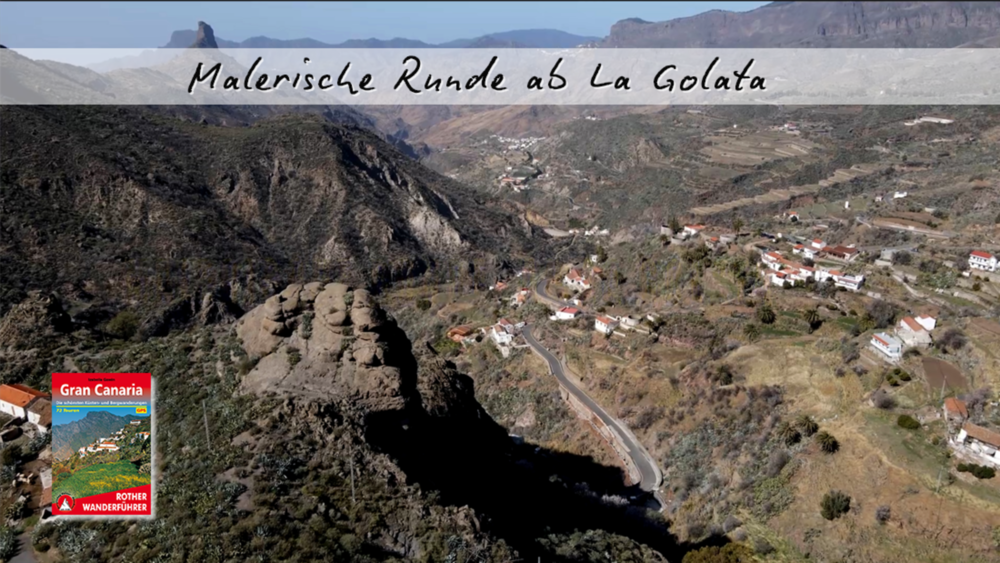
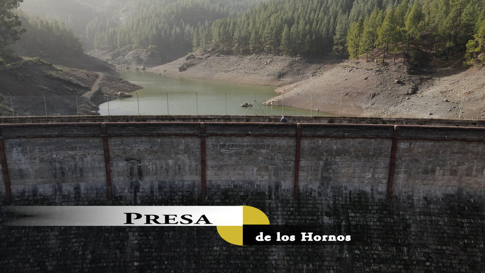
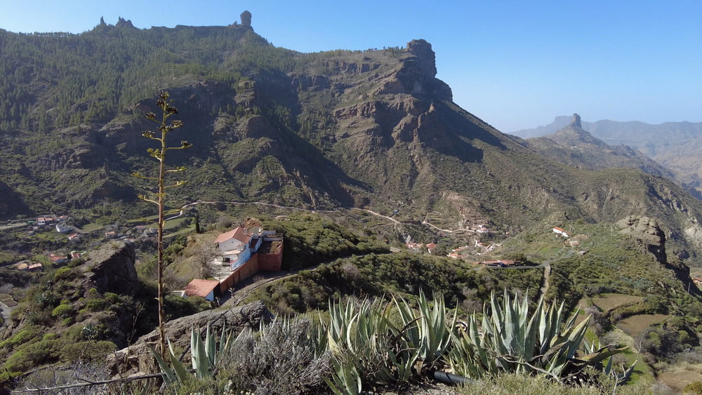
Entgegen dem Uhrzeigersinn starten wir am genannten Wanderparkplatz. Unterwegs passiert man einen Stausee und laufen durch lichte Kiefernhaine entlang am Rande der Caldera. Es folgt ein Abstieg zu Dorf La Culata, bevor man den Aufstieg zu Ausgangspunkt in Angriff nimmt.

Tour gallery

Tour map and elevation profile

  • Open Street Map
  • Google
Minimum height 1225 m Maximum height 1699 m Detailed view

More about the tour author

schleidy
Member since 2013

Send private message

Comments

GPS tracks

Trackpoints
  • GPX / Garmin Map Source (gpx) download
  • TCX / Garmin Training Center® (tcx) download
  • CRS / Garmin Training Center® (crs) download
  • Google Earth (kml) download
  • G7ToWin (g7t) download
  • TTQV (trk) download
  • Overlay (ovl) download
  • Fugawi (txt) download
  • Kompass (DAV) Track (tk) download
  • Track data sheet (pdf) download
  • Original file of the author (gpx) download

More about the tour author

schleidy
Member since 2013

Send private message
Share track
Add to my favorites
Remove from my favorites
Edit tags
My score
Rate
Track: Gran Canaria: Malerische Runde ab La Goleta
Type: Hiking
Distance: 8,7 km
Evaluated on:
Duration:
Day(s)
Hour(s)
Minute(s)
Score: Landscape Fun factor Fitness Technique