


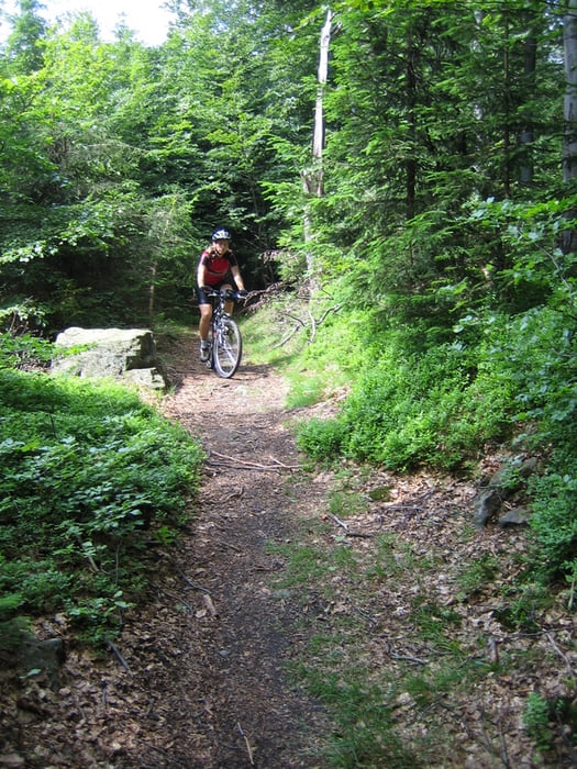
Startpunkt ist der Parkplatz in Voithenberg und geht dann im Gegenuhrzeigersinn erst mal über die Skipiste hoch bis zur Tschechischen Grenze. Dort ist auch ein kurzer aber technisch herausfordernder Trial der bezwungen werden will ...
Kurz vor Herzogau wurde irgendwie der richtige Weg nicht gefunden, deshalb gibt es dort eine etwas ruppige "Abkürzung" zum originalen Weg zurück ....
Die ganze Beschreibung findet ihr im Tourenbuch "Mountainbiking im Bayerischen Wald" von Jürgen Schindlatz (www.schindlatz.de).
Further information at
http://www.schindlatz.deTour gallery
Tour map and elevation profile
Minimum height 593 m
Maximum height 919 m
More about the tour author
|
|
Anderl |
Comments

A3 -> B20 Richtung Furth im Wald und dann nach Voithenberg (großer Parkplatz vom Golfplatz)
GPS tracks
Trackpoints-
GPX / Garmin Map Source (gpx) download
-
TCX / Garmin Training Center® (tcx) download
-
CRS / Garmin Training Center® (crs) download
-
Google Earth (kml) download
-
G7ToWin (g7t) download
-
TTQV (trk) download
-
Overlay (ovl) download
-
Fugawi (txt) download
-
Kompass (DAV) Track (tk) download
-
Track data sheet (pdf) download
-
Original file of the author (gpx) download
More about the tour author
|
|
Anderl |
Add to my favorites
Remove from my favorites
Edit tags
Open track
My score
Rate