


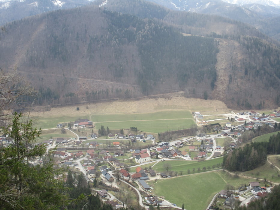
Bei der Volksschule ist der erste Weigweiser für den Pastorensteig. Vorbei an der Kirche geht es hinein bis zum Jagdhaus Tragl. Hier rechts aufwärts in den Wald und steil hinauf auf den Höhenrücken. Der schmale Weg führt ohne wesentliche Steigung zu einer Einsattelung. Hier kurz rechts ab auf den Gipfel.
Zurück zur Einsattelung und südöstlich weiter hinunter der Markierung 4 folgen. Auf der Straße zurück in den Ort.
Further information at
https://www.steyrling.at/tourismus/freizeitangebote/wanderwege/rundweg-pastorensteig/Tour gallery
Tour map and elevation profile
Minimum height 499 m
Maximum height 796 m
More about the tour author

|
JoHangler |
Comments

Auf der A9 Abzweigung Klaus oder Hinterstoder. Auf der Pyhrnpassbundesstraße bis zur Abzweigung nach Steyrling. Parkmöglichkeit gegenüber der Volksschule.
GPS tracks
Trackpoints-
GPX / Garmin Map Source (gpx) download
-
TCX / Garmin Training Center® (tcx) download
-
CRS / Garmin Training Center® (crs) download
-
Google Earth (kml) download
-
G7ToWin (g7t) download
-
TTQV (trk) download
-
Overlay (ovl) download
-
Fugawi (txt) download
-
Kompass (DAV) Track (tk) download
-
Track data sheet (pdf) download
-
Original file of the author (gpx) download
More about the tour author
|
|
JoHangler |
Add to my favorites
Remove from my favorites
Edit tags
Open track
My score
Rate