


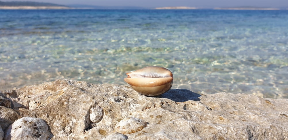
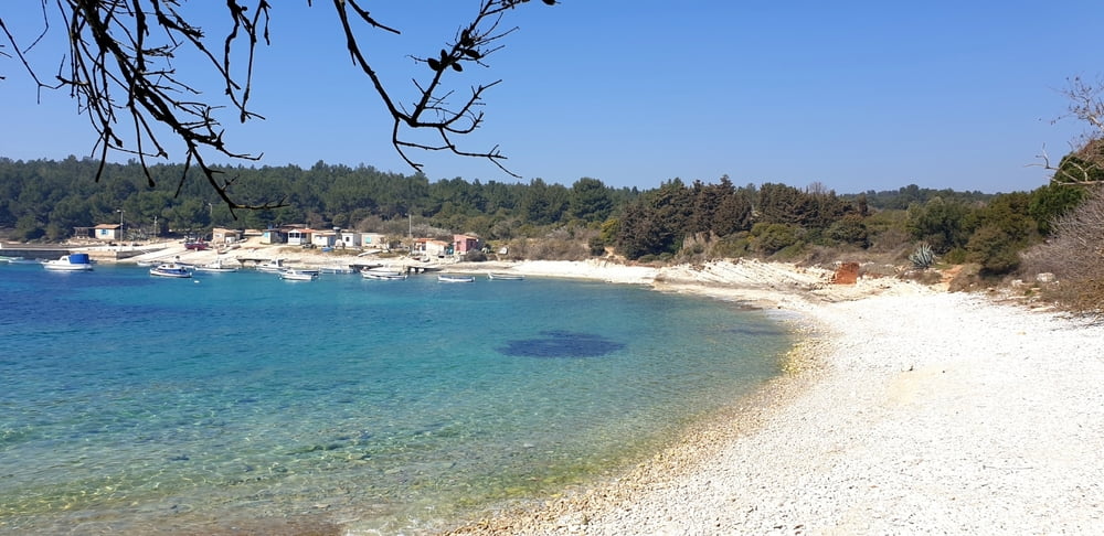
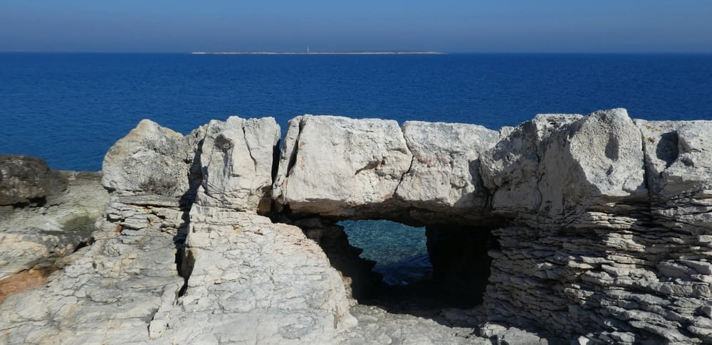
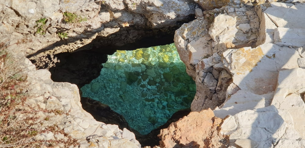
Wunderschöne Küstenanderung am Kap Kamenjak im Süden Istriens nahe dem Urlaubsort Premantura.
Traumhafte Strände und Buchten , herrliches Wasser und spektakuläre Klippen - eine einmalige Natur. Wer sind im März unterwegs gewesen wo es zwar noch zu kalt zum Baden war , dafür aber fast menschenleer.
Aufgezeichnet wurde die Tour mit einer Garmin Epix 2
Further information at
https://www.satcom.at/kap-kamenjak-istrienTour gallery
Tour map and elevation profile
Minimum height 1 m
Maximum height 36 m
More about the tour author
|
|
GarminSalzburg |
Comments

Fährt man von Premantura Richtung Süden kommt bald zu einem Schranken. Im März kann man noch kostenlos in den Naturpark fahren , sonst im Vorverkauf ein Tages-Ticket kaufen oder gleich zu Fuß bis zum Parkplatz beim Bauernhof.
GPS tracks
Trackpoints-
GPX / Garmin Map Source (gpx) download
-
TCX / Garmin Training Center® (tcx) download
-
CRS / Garmin Training Center® (crs) download
-
Google Earth (kml) download
-
G7ToWin (g7t) download
-
TTQV (trk) download
-
Overlay (ovl) download
-
Fugawi (txt) download
-
Kompass (DAV) Track (tk) download
-
Track data sheet (pdf) download
-
Original file of the author (gpx) download
More about the tour author
|
|
GarminSalzburg |
Add to my favorites
Remove from my favorites
Edit tags
Open track
My score
Rate