


- Rundkurs gegen den Uhrzeigersinn.
- Start/Ziel: Lacona
- Die Tour verläuft grösstenteils auf Feldwegen. Eine länger Abfahrt auf steinigem, holpriger Militärstrasse. Kürzere Abschnitte auf mässig befahrener Hauptstrasse(4. April).
- Aufstieg ab Marina di Campo und Abfahrt nach Lacona auf Asfalt ohne Verkehr.
- PS. Camping Tallinucci/Lacona. Direkt am Meer, beheizte Sanitäranlagen.
- Das Bistrot/Restaurant/Pizzeria "Miramar" direkta am Strand war am 4. April ebenfalls offen(Torta della Nonna!!!!).
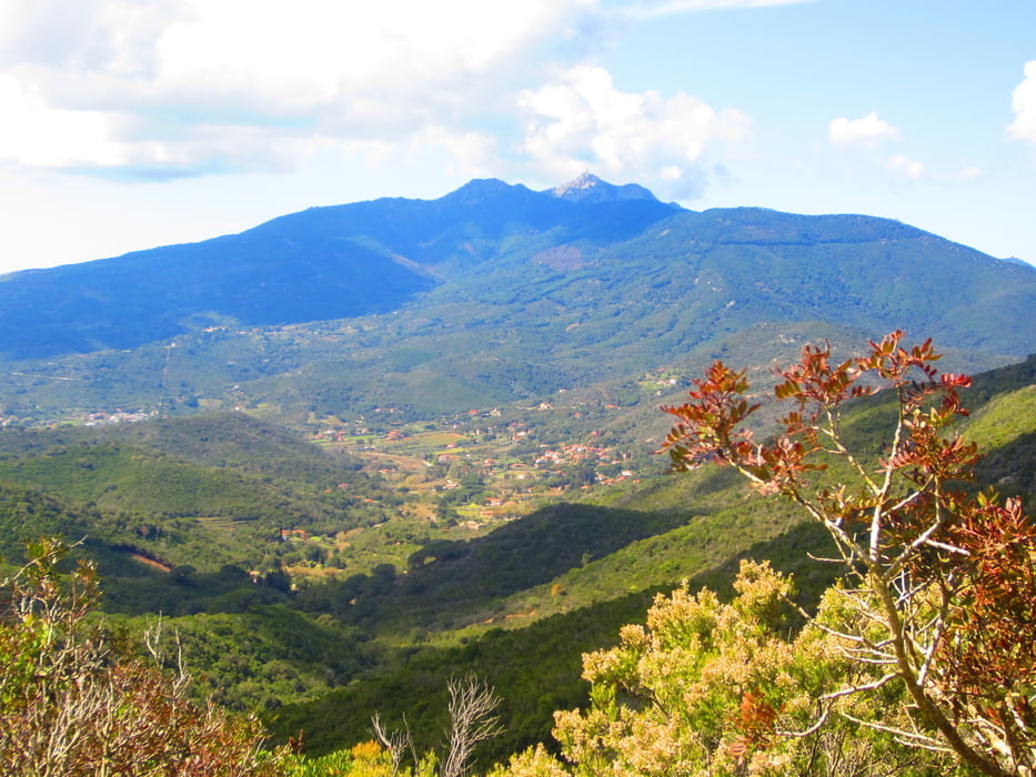
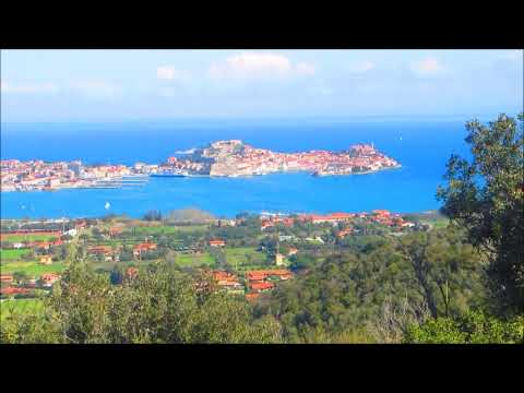
Tour gallery


Tour map and elevation profile
Minimum height 62 m
Maximum height 361 m
More about the tour author
|
|
MargesinFriedrich |
Comments

GPS tracks
Trackpoints-
GPX / Garmin Map Source (gpx) download
-
TCX / Garmin Training Center® (tcx) download
-
CRS / Garmin Training Center® (crs) download
-
Google Earth (kml) download
-
G7ToWin (g7t) download
-
TTQV (trk) download
-
Overlay (ovl) download
-
Fugawi (txt) download
-
Kompass (DAV) Track (tk) download
-
Track data sheet (pdf) download
-
Original file of the author (gpx) download
More about the tour author
|
|
MargesinFriedrich |
Add to my favorites
Remove from my favorites
Edit tags
Open track
My score
Rate