


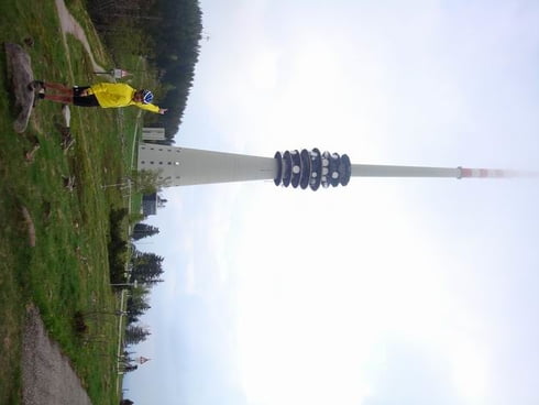
Dies ist eine der zahlreichen bereits auf der Seite befindlichen Westwegbefahrungen in drei Teilen. Gefahren wurde überwiegend auf dem original Westweg, mit Zu- und Abfahrten zur Unterkunft. Trotz GPS sei es empfohlen, sich vor der Tour mit der Symbolik der verschiedenen Wanderwegbezeichnung zu befassen. Hier handelt es sich um den ersten Teil. Höhepunkte sind die Abfahrt ins Murgtal, Schwarzenbachtalsperre und der mächtige Sender auf der Hornisgrinde.
Tour gallery
Tour map and elevation profile
Minimum height 256 m
Maximum height 1196 m
More about the tour author

|
pb |
Comments
Start am Pforzheimer Messplatz
GPS tracks
Trackpoints-
GPX / Garmin Map Source (gpx) download
-
TCX / Garmin Training Center® (tcx) download
-
CRS / Garmin Training Center® (crs) download
-
Google Earth (kml) download
-
G7ToWin (g7t) download
-
TTQV (trk) download
-
Overlay (ovl) download
-
Fugawi (txt) download
-
Kompass (DAV) Track (tk) download
-
Track data sheet (pdf) download
-
Original file of the author (gpx) download
More about the tour author
|
|
pb |
Add to my favorites
Remove from my favorites
Edit tags
Open track
My score
Rate
lob und tadel