Login

Forgot your login?

Cookies have to be accepted!
Your browser's cookie functionality is disabled. Please enable this functionality.

Not a member yet?

Register now
Login

Available for registred users only

Log in to use this feature.

Forgot your login?

Cookies have to be accepted!
Your browser's cookie functionality is disabled. Please enable this functionality.

Not a member yet?

Register now
Filter
Categories
Advanced filters
  • Distance (km)
  • Height
Save filters Reset filter

TrackRank

QRCode

Technical data

Distance90,0 km Height2392 m Way down2310 m Duration06:46 h:m Date15.04.2022
Scores Author Landscape Fun factor Fitness Technique

Statistics

159 Views Scores 1 Download Average
Rate
  • Track data sheet
  • Directions
  • Downloads

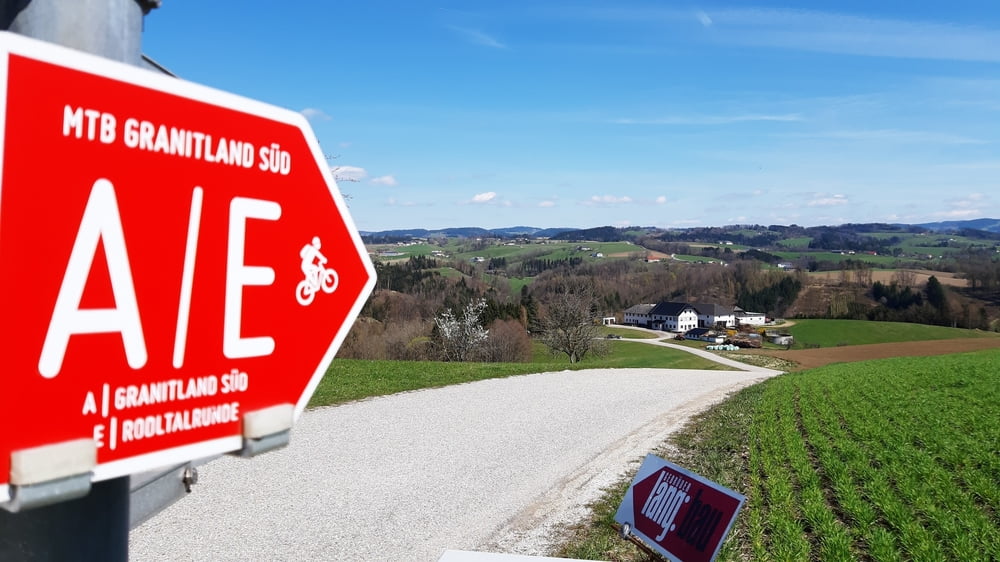
Linz-Donaublick-St. Martin-Kirchberg-Lembach-Wesenufer

Start der großen Granitlandrunde. Einige steile Anstiege: Pöstlingberg, Donaublick, Tischlerberg, vom Fischgasthaus Aumüller nach Unteredt.

Ab Lembach war ich schon auf intensiver Quartiersuche, sodass ich von da weg hauptsächlich auf der Landesstraße unterwegs war.

Fündig wurde ich dann beim Gasthaus "Zum Schiffmeister" in Wesenufer. NF: 70 €, ok.

Tour gallery

Tour map and elevation profile

  • Open Street Map
  • Google
Minimum height 252 m Maximum height 740 m Detailed view

More about the tour author

mitter
Member since 2008

Send private message

Comments

GPS tracks

Trackpoints
  • GPX / Garmin Map Source (gpx) download
  • TCX / Garmin Training Center® (tcx) download
  • CRS / Garmin Training Center® (crs) download
  • Google Earth (kml) download
  • G7ToWin (g7t) download
  • TTQV (trk) download
  • Overlay (ovl) download
  • Fugawi (txt) download
  • Kompass (DAV) Track (tk) download
  • Track data sheet (pdf) download
  • Original file of the author (gpx) download

More about the tour author

mitter
Member since 2008

Send private message
Share track
Add to my favorites
Remove from my favorites
Edit tags
My score
Rate
Track: Linz-Wesenufer (1. Granitland) 220411
Type: Mountain bike
Distance: 90,0 km
Evaluated on:
Duration:
Day(s)
Hour(s)
Minute(s)
Score: Landscape Fun factor Fitness Technique