


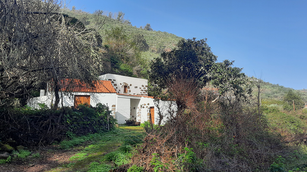
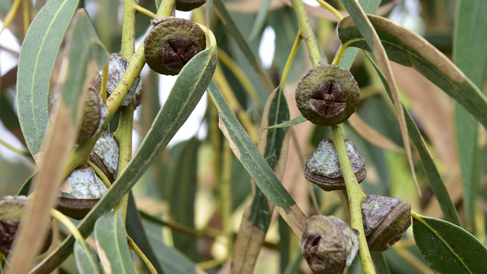
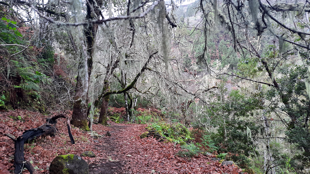
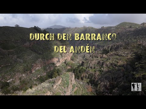
In Valsendero nehmen wir die Straße zum Barranco del Andén. Diese Schlucht besticht mit ihrer Artenvielfalt, und den endemischen Pflanzen. Dem Barranco folgen wir auf gut ausgebauten Wege bis zum höchsten Wasserfall der Insel, dem Caidero Navarro. Durch einen Kiefernwald verlassen wir den Bco. und folgen zunächst einem Wasserkanal, der erhöht entlang der GC 21 verläuft. Nun geht es Abwärts zum Ort Lanzarote den wir durchqueren. Auf dem erreichten Bergkamm sehen wir dann unter uns das Ziel Valsendero
Tour gallery

Tour map and elevation profile
Minimum height 844 m
Maximum height 1394 m
More about the tour author
|
|
schleidy |
Comments

GPS tracks
Trackpoints-
GPX / Garmin Map Source (gpx) download
-
TCX / Garmin Training Center® (tcx) download
-
CRS / Garmin Training Center® (crs) download
-
Google Earth (kml) download
-
G7ToWin (g7t) download
-
TTQV (trk) download
-
Overlay (ovl) download
-
Fugawi (txt) download
-
Kompass (DAV) Track (tk) download
-
Track data sheet (pdf) download
-
Original file of the author (gpx) download
More about the tour author
|
|
schleidy |
Add to my favorites
Remove from my favorites
Edit tags
Open track
My score
Rate