


- Rundkurs im Uhrzeigersinn.
- Start/Ziel: Eisstadion Pergine Valsugana(grosser Parkplatz).
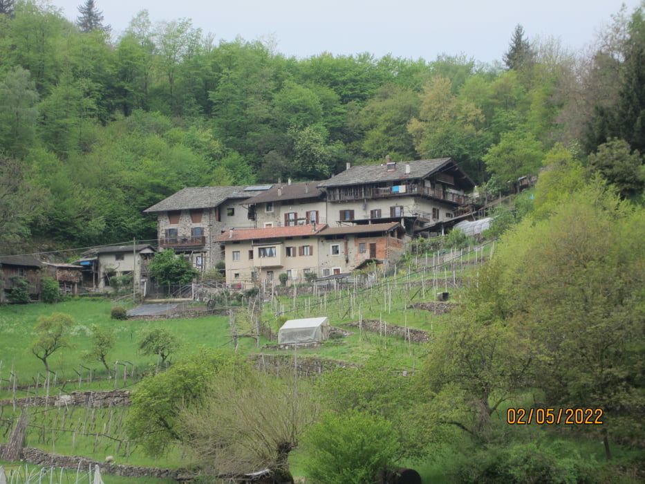
- Auf Nebenstrassen(ohne Verkehr), Feldwegen, flowigen Waldwegen, Militärstrassen, Schotterwegen, Radwegen von Pergine ausgehend, vorbei an 6 Seen und 2 Festungen aus österreichisch-ungarischer Zeit.
- Lago Pudro
- Lago Madrano
- Lago di Canzolino
- Lago della Costa
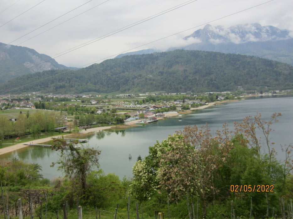
- Lago di Levico
- Lago di Caldonazzo
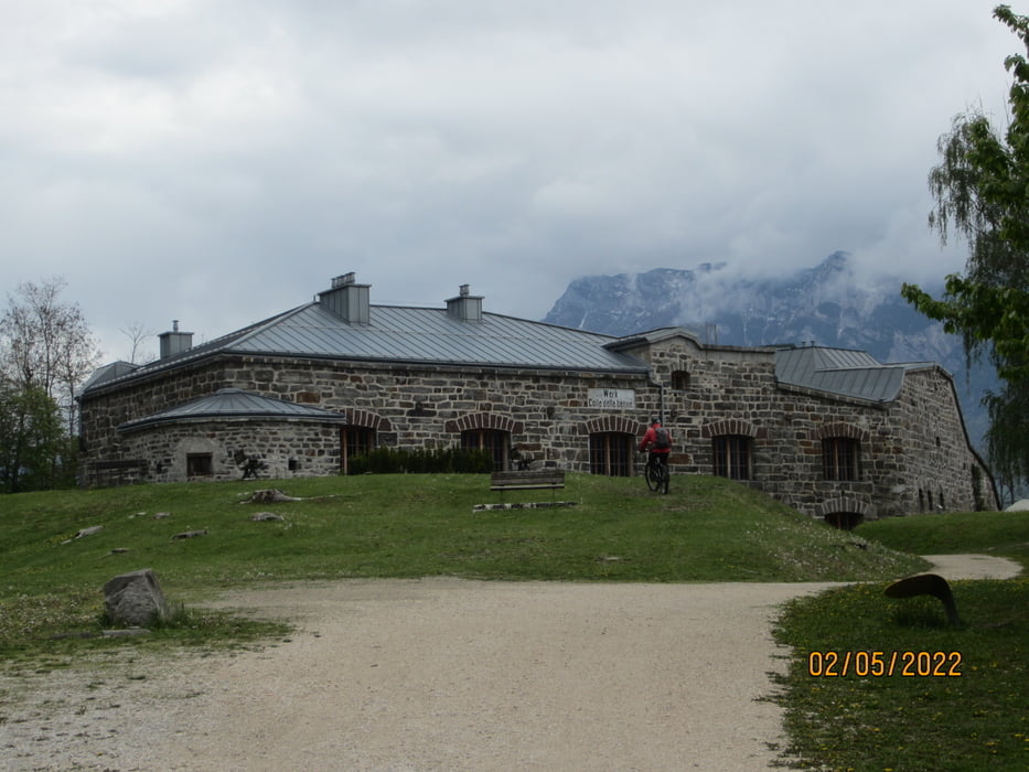
- Festung "Werk - Colle delle Benne" (KM 24,5 - MH 725)
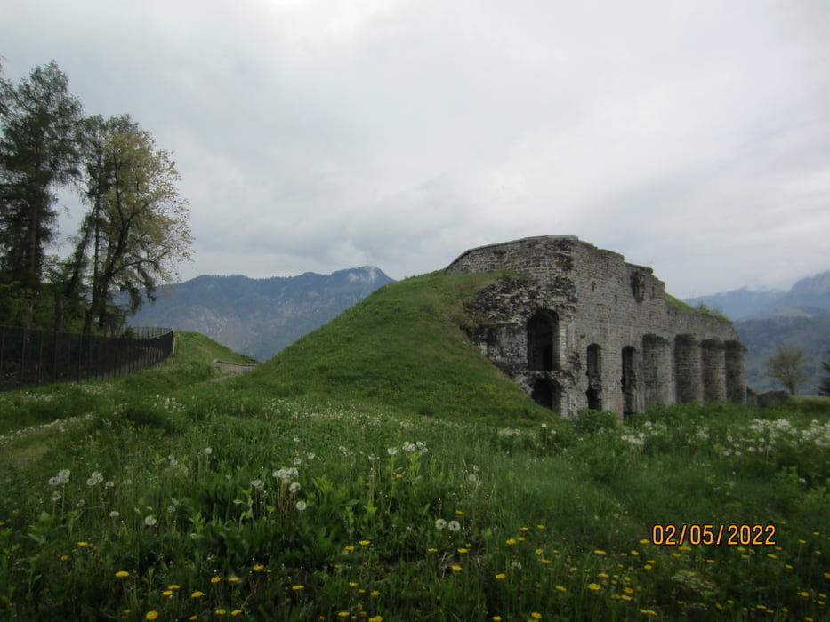
- Festung "Forte di Tenna". (KM 18,3 - MH 666)
GPS-Daten von Nicola Tretter/Rinco Boys. Mille grazie Nicola!!!
Tour gallery

Tour map and elevation profile
Minimum height 516 m
Maximum height 725 m
More about the tour author
|
|
MargesinFriedrich |
Comments

GPS tracks
Trackpoints-
GPX / Garmin Map Source (gpx) download
-
TCX / Garmin Training Center® (tcx) download
-
CRS / Garmin Training Center® (crs) download
-
Google Earth (kml) download
-
G7ToWin (g7t) download
-
TTQV (trk) download
-
Overlay (ovl) download
-
Fugawi (txt) download
-
Kompass (DAV) Track (tk) download
-
Track data sheet (pdf) download
-
Original file of the author (gpx) download
More about the tour author
|
|
MargesinFriedrich |
Add to my favorites
Remove from my favorites
Edit tags
Open track
My score
Rate