


Vom Parkplatz am Stadtrand von Forlí gehts auf kleinen Strassen flach hinaus Richtung Meldola. Wir kommen nach Fratte Terme und kommen südlich an Meldola vorbei und es beginnt der erste Anstieg auf einer kleinen Strasse ohne Verkehr. Der erste Aussichtspunkt ist erreicht, nun beginnt eine Abfahrt mit 18 Kehren hinunter nach Predappio.
Nun kommen noch mal 250 Hm und ein kleiner Gegenanstieg mit anschließender Abfahrt nach San Lorenzo in Noceto und flach zurück zum Parkplatz.
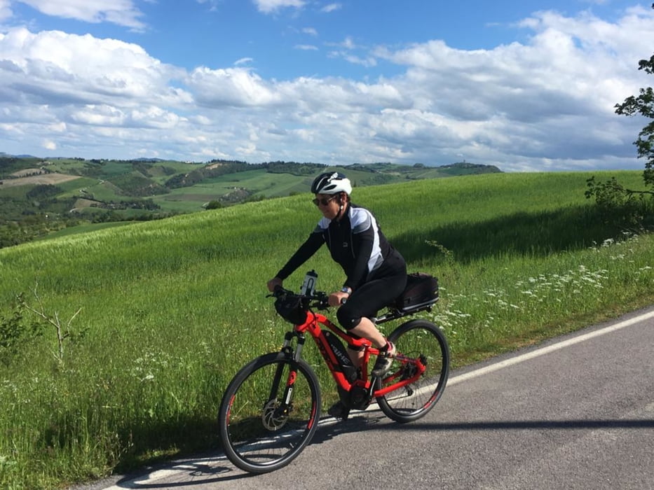
Die Strassen sind nicht immer im perfekten Zustand dafür hat man kein oder fast keinen Verkehr. Die zwei Anstiege sind moderat und benötigen keine spezielle Übersetzung.
Further information at
https://emiliaromagnaturismo.it/it/localita/meldolaTour gallery
Tour map and elevation profile
Minimum height 6 m
Maximum height 376 m
More about the tour author
|
|
Califan |
Comments

Großer kostenfreier Parkplatz in Forlí
Parcheggio dell'Argine
Via Donne della Costituente
47121 Forlì (FC)
GPS: N 44.21956, E 12.03178
GPS tracks
Trackpoints-
GPX / Garmin Map Source (gpx) download
-
TCX / Garmin Training Center® (tcx) download
-
CRS / Garmin Training Center® (crs) download
-
Google Earth (kml) download
-
G7ToWin (g7t) download
-
TTQV (trk) download
-
Overlay (ovl) download
-
Fugawi (txt) download
-
Kompass (DAV) Track (tk) download
-
Track data sheet (pdf) download
-
Original file of the author (gpx) download
More about the tour author
|
|
Califan |
Add to my favorites
Remove from my favorites
Edit tags
Open track
My score
Rate