Login

Forgot your login?

Cookies have to be accepted!
Your browser's cookie functionality is disabled. Please enable this functionality.

Not a member yet?

Register now
Login

Available for registred users only

Log in to use this feature.

Forgot your login?

Cookies have to be accepted!
Your browser's cookie functionality is disabled. Please enable this functionality.

Not a member yet?

Register now
Filter
Categories
Advanced filters
  • Distance (km)
  • Height
Save filters Reset filter

TrackRank

QRCode

Technical data

Distance25,8 km Height1008 m Way down1005 m Duration00:00 h:m Date04.05.2022
Scores Author Landscape Fun factor Fitness Technique

Statistics

106 Views Scores 17 Downloads Average
Rate
  • Track data sheet
  • Directions
  • Downloads
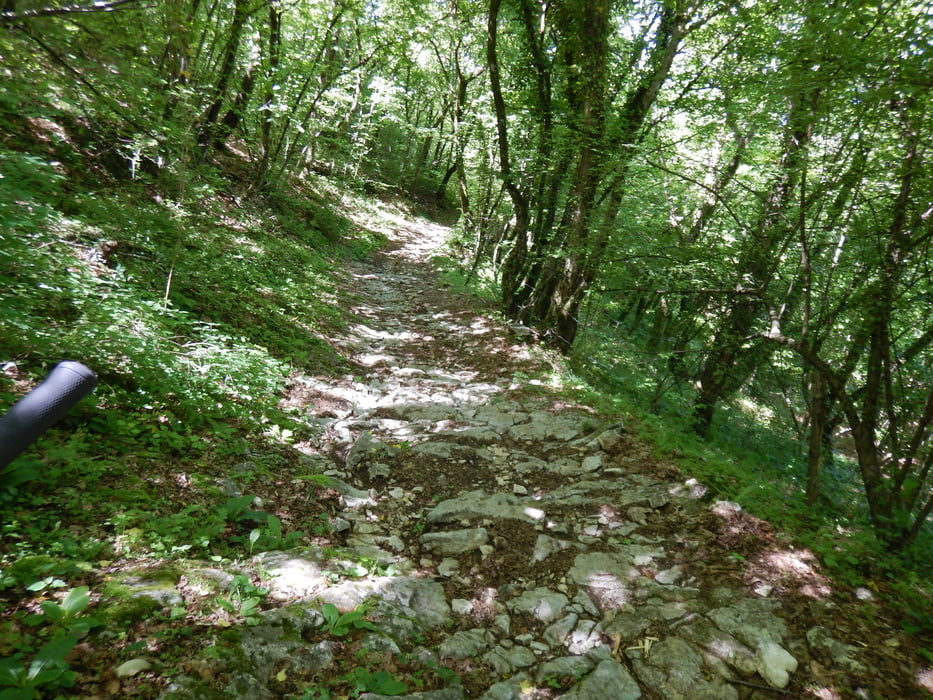
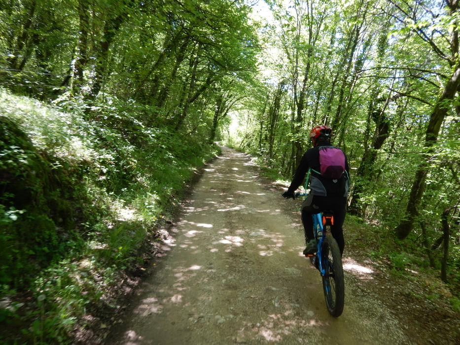
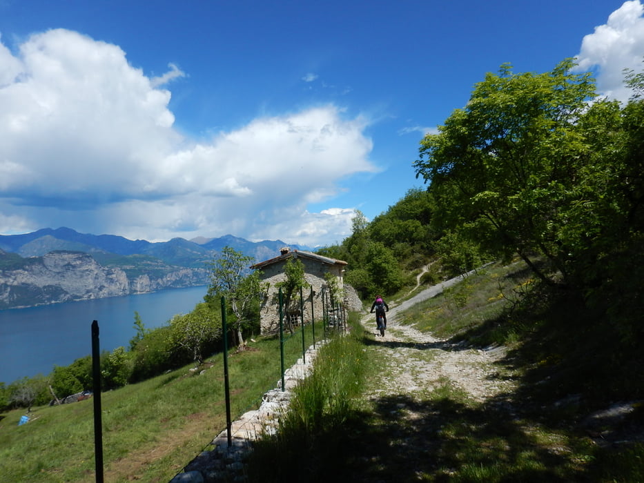
Salita in parte sterrata e poi su asfalto fino a Prada, segue divertente trail all’interno di un antico castagneto dove gli amanti dell’enduro potranno mollare i freni, si rientra a valle poi lungo tratti di sterrati e mulattiere dove il fondo roccioso non manca.

Tour gallery

Tour map and elevation profile

  • Open Street Map
  • Google
Minimum height 67 m Maximum height 938 m Detailed view

More about the tour author

Dolomeet
Member since 2018

Send private message

Comments

GPS tracks

Trackpoints
  • GPX / Garmin Map Source (gpx) download
  • TCX / Garmin Training Center® (tcx) download
  • CRS / Garmin Training Center® (crs) download
  • Google Earth (kml) download
  • G7ToWin (g7t) download
  • TTQV (trk) download
  • Overlay (ovl) download
  • Fugawi (txt) download
  • Kompass (DAV) Track (tk) download
  • Track data sheet (pdf) download
  • Original file of the author (gpx) download

More about the tour author

Dolomeet
Member since 2018

Send private message
Share track
Add to my favorites
Remove from my favorites
Edit tags
My score
Rate
Track: Trail Campo
Type: Mountain bike
Distance: 25,8 km
Evaluated on:
Duration:
Day(s)
Hour(s)
Minute(s)
Score: Landscape Fun factor Fitness Technique