


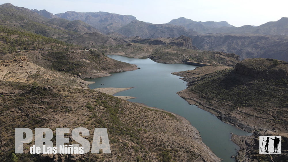
Vom Parkplatz führt die Wanderung hinunter zu einem kl. ausgetrockneten Stausee. Dann geht es im weiten Bogen um den Risco Grande herum bis es hinunter zum Presa de Las Niñas geht. Wir folgen dem Ufer vom See zur Staumauer und anschließend der Abbruchkante oberhalb vom Ort Soria, und blicken auf den gleichnamigen Stausee. Dem dann erreichten Wasserkanal folgen wir bis zum Beginn erwähnten, ausgetrockneten Stausee, somit endet die Wanderung wieder am Parkplatz.
Tour gallery


Tour map and elevation profile
Minimum height 880 m
Maximum height 970 m
More about the tour author
|
|
schleidy |
Comments

GPS tracks
Trackpoints-
GPX / Garmin Map Source (gpx) download
-
TCX / Garmin Training Center® (tcx) download
-
CRS / Garmin Training Center® (crs) download
-
Google Earth (kml) download
-
G7ToWin (g7t) download
-
TTQV (trk) download
-
Overlay (ovl) download
-
Fugawi (txt) download
-
Kompass (DAV) Track (tk) download
-
Track data sheet (pdf) download
-
Original file of the author (gpx) download
More about the tour author
|
|
schleidy |
Add to my favorites
Remove from my favorites
Edit tags
Open track
My score
Rate