


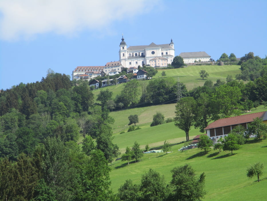
Vom Bahnhof rauf nach Adersdorf - runter nach Gleiß - über den Baichberg auf den Sonntagberg - Panoramastraße über Doppel bis kurz vor St. Leonhard - durch den Lueggraben nach Böhlerwerk - hinauf zur Wieserhöhe - über Ertstraß und St. Michael nach Seitenstetten.
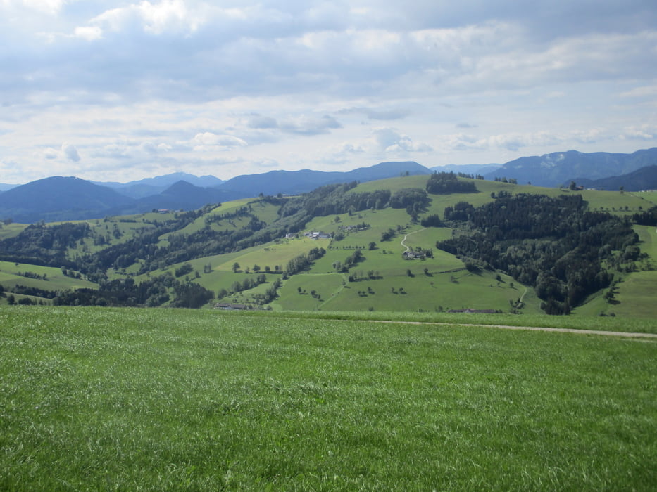
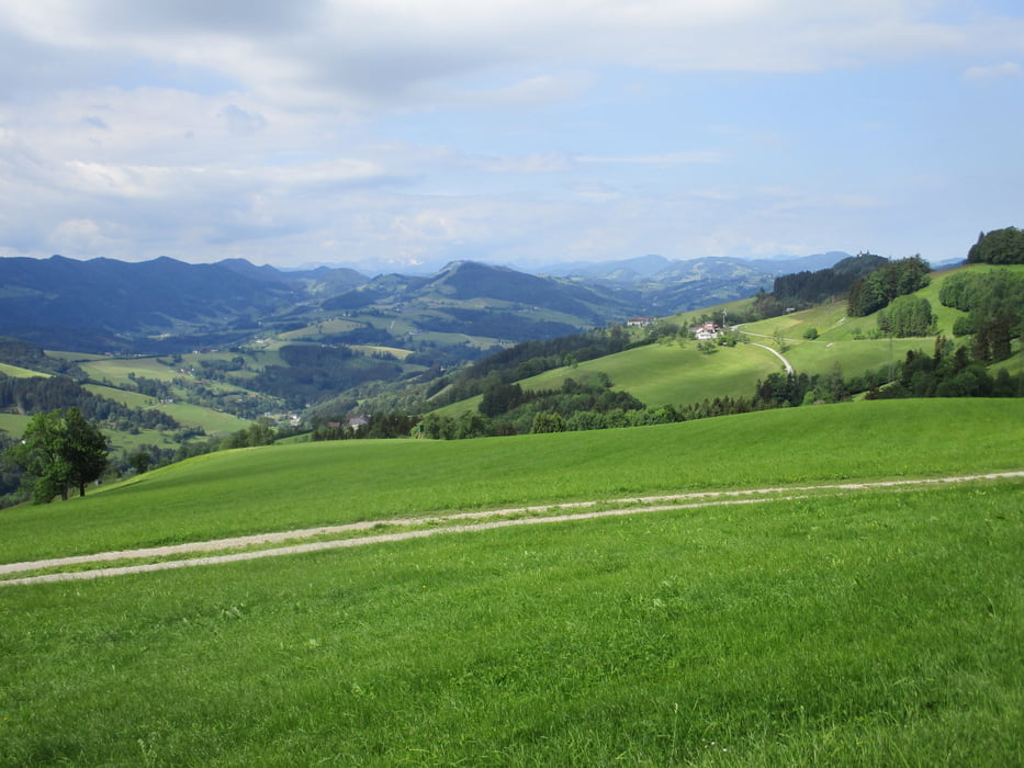
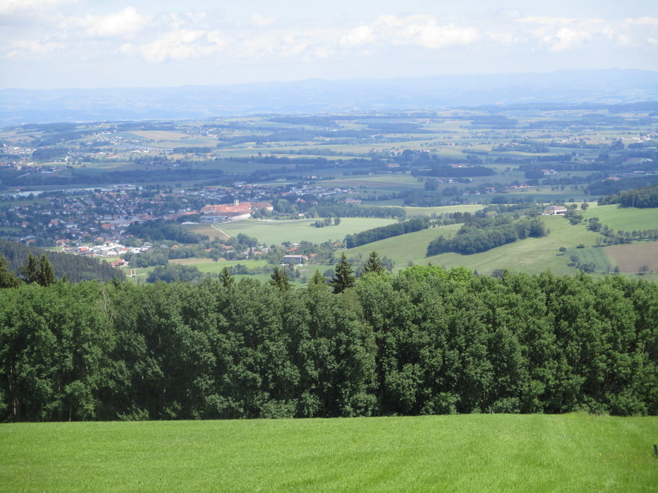
Herrliches Panorama von Sonntagberg nach St. Leonhard und von der Wieserhöhe nach St. Michael
Tour gallery
Tour map and elevation profile
Minimum height 307 m
Maximum height 751 m
More about the tour author

|
JoHangler |
Comments

Auf der A1 zur Abfahrt Oed. Über Aschbach-Markt und Krenstetten zum Bahnhof Krenstetten-Biberbach.
Ausreichend Parkplätze
GPS tracks
Trackpoints-
GPX / Garmin Map Source (gpx) download
-
TCX / Garmin Training Center® (tcx) download
-
CRS / Garmin Training Center® (crs) download
-
Google Earth (kml) download
-
G7ToWin (g7t) download
-
TTQV (trk) download
-
Overlay (ovl) download
-
Fugawi (txt) download
-
Kompass (DAV) Track (tk) download
-
Track data sheet (pdf) download
-
Original file of the author (gpx) download
More about the tour author
|
|
JoHangler |
Add to my favorites
Remove from my favorites
Edit tags
Open track
My score
Rate