


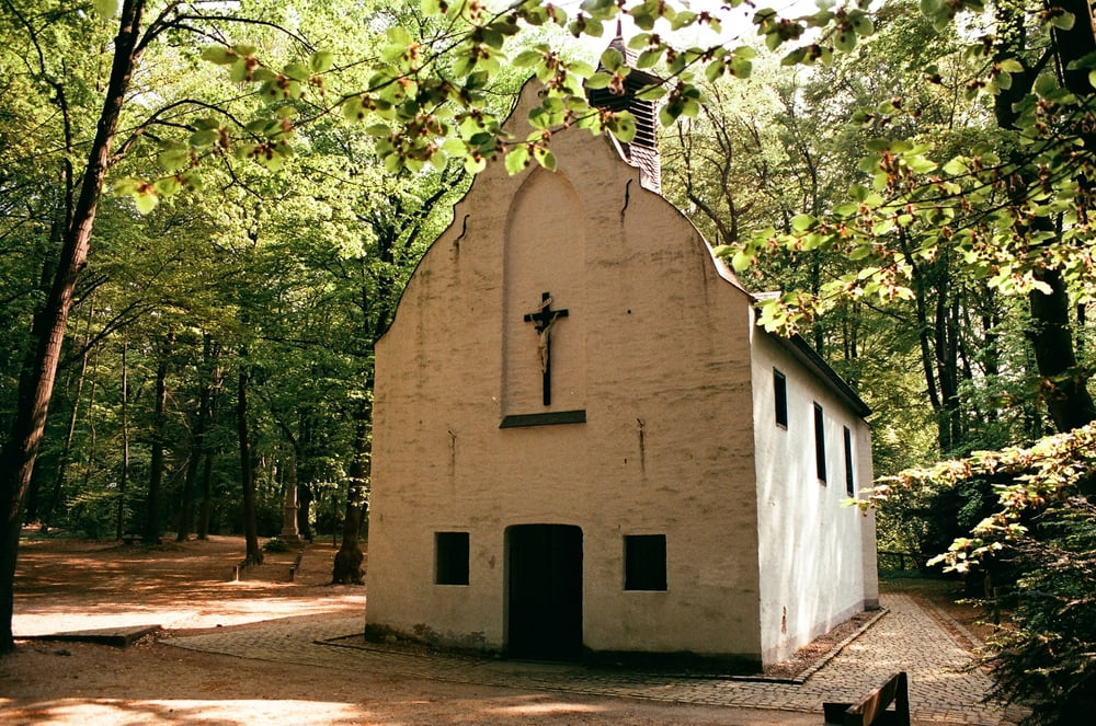
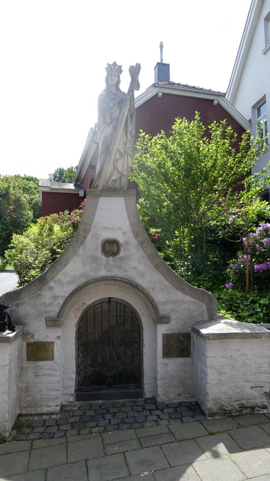
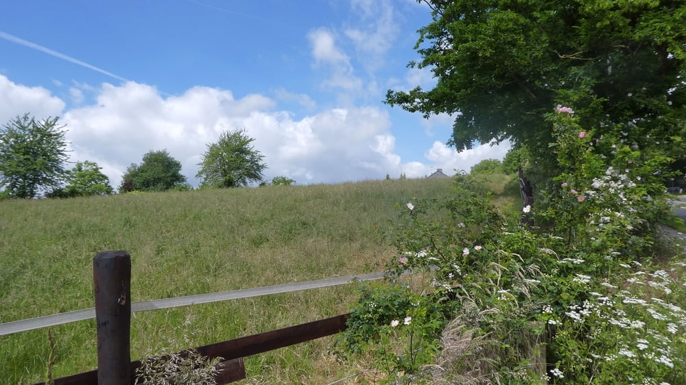
Der Irmgardispfad ist ein als Rad- und Fußweg gedachter Wander- und Pilgerpfad, der durch Außenbereiche der nordrhein-westfälischen Kreisstadt Viersen führt. Der Irmgardispfad verläuft von der Irmgardiskapelle auf dem Heiligenberg bei Süchteln durch die Süchtelner Höhen, am westlichen Stadtrand von Alt-Viersen vorbei, schließlich über Hoser, Bockert, Beberich, Ompert und Ummer zum Helenenbrunnen nach Helenabrunn und wird daher auch als "Helenenpfad" oder, im niederfränkischen Viersener Dialekt, als "Lie'nepäsche" bezeichnet. Das Markierungslogo dieses Pilgerweges zeigt deshalb die Anfangsbuchstaben "I" (für Irmgardispfad) und "L" (für Lie'nepäsche).
(Quelle: Wikipedia)
Further information at
https://de.wikipedia.org/wiki/IrmgardispfadTour gallery
Tour map and elevation profile
Minimum height 46 m
Maximum height 101 m
More about the tour author

|
SchmitzBackes |
Comments

Von Mönchengladbach Hbf aus mit Buslinie 019 (Richtung Grefrath-Vinkrath) bis Haltestelle Mosterzstraße, von dort aus zu Fuß am Süchtelner Friedhof entlang bis zur Kapelle.
Mit dem Auto bis Süchteln Friedhof, von dort aus zu Fuß zur Kapelle.
GPS tracks
Trackpoints-
GPX / Garmin Map Source (gpx) download
-
TCX / Garmin Training Center® (tcx) download
-
CRS / Garmin Training Center® (crs) download
-
Google Earth (kml) download
-
G7ToWin (g7t) download
-
TTQV (trk) download
-
Overlay (ovl) download
-
Fugawi (txt) download
-
Kompass (DAV) Track (tk) download
-
Track data sheet (pdf) download
-
Original file of the author (gpx) download
More about the tour author
|
|
SchmitzBackes |
Add to my favorites
Remove from my favorites
Edit tags
Open track
My score
Rate