


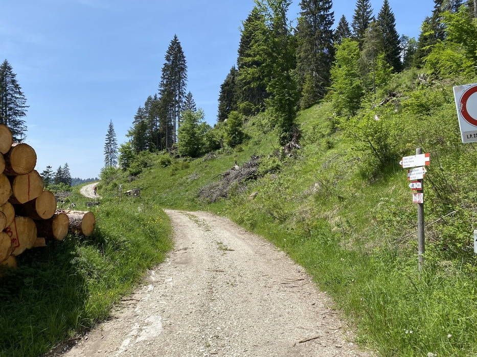
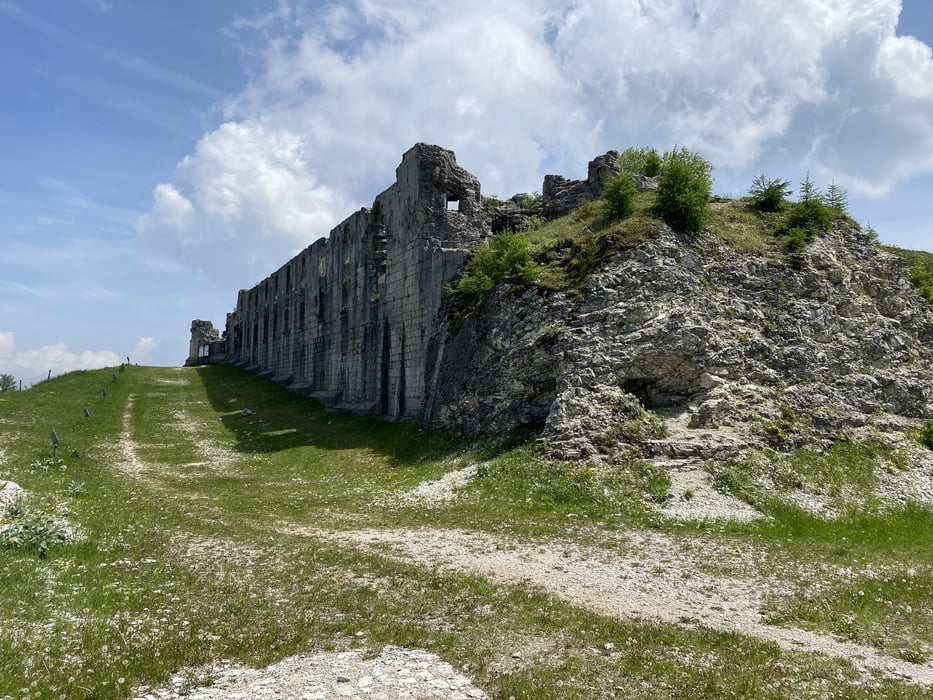
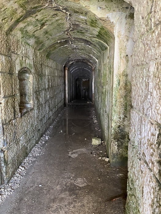
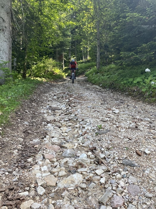
Abfahrt nähe Lago di Lavarone am Asphalt Sp 350 bis rechts eine Tafel erscheint. Den kurzen steilen Forstweg im Wald hinunter zum Forte Comando Austriaco. In Richtung Passo di Sommo am Asphalt weiter und das Tal Valle Pru ausfahren bis vor einer Linkskurve links ein Forstweg abgeht. Beschilderung Ex Forte Cherle hinauf zum Forte und der schönen Aussicht. Den "GBO Simon Marathon" groben und steilen Forstweg hinunter bis nach Carbonare und von dort retour auf Anfahrtsstraße.
Tour gallery
Tour map and elevation profile
Minimum height 1081 m
Maximum height 1453 m
More about the tour author
|
|
Astrid_Steindl04 |
Comments

Autobahn bis Trento von dort östlich in die Berge Richtung Lavarone.
GPS tracks
Trackpoints-
GPX / Garmin Map Source (gpx) download
-
TCX / Garmin Training Center® (tcx) download
-
CRS / Garmin Training Center® (crs) download
-
Google Earth (kml) download
-
G7ToWin (g7t) download
-
TTQV (trk) download
-
Overlay (ovl) download
-
Fugawi (txt) download
-
Kompass (DAV) Track (tk) download
-
Track data sheet (pdf) download
-
Original file of the author (gpx) download
More about the tour author
|
|
Astrid_Steindl04 |
Add to my favorites
Remove from my favorites
Edit tags
Open track
My score
Rate