


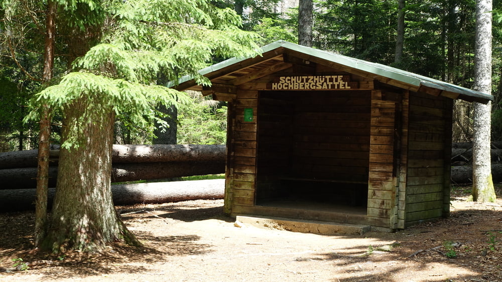
Von Bayerisch Eisenstein über die Grenze zu den ehem. Militäranlagen in Debrnik, weiter durch das Ferdinandsthal und über den Hochbergsattel wieder zurück.
Hinweise: Mittelschwere Wandertour, Grenzüberschreitung: Reisedokumente nicht vergessen. Anreise für diese Tour mit ÖPNV
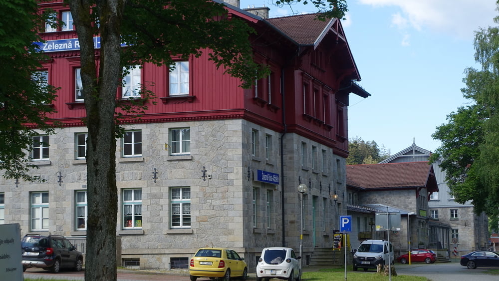
Start/Ziel: Bahnhof Bayerisch Eisenstein
Markierung: CZ: Markierung gelb, rot, grün, D: Markierung „Siebenschläfer“, „Schwarzstorch“, Grünes Dreieck, Goldsteig
Route: Bahnhof Bayerisch Eisenstein – Železná Ruda – Debrník – Grenzübergang Ferdinandsthal – Hochbergsattel – Bahnhof Bayerisch Eisenstein
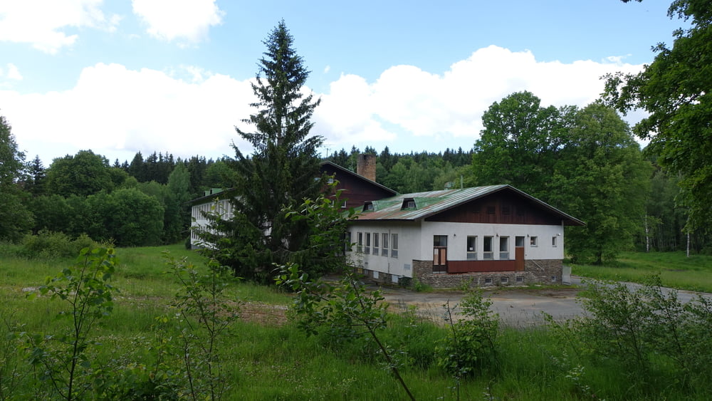
POI: Grenzbahnhof Bayerisch Eisenstein, Debrnik (ehem. Deffernik) mit seinen Militäranlagen aus der Zeit des Kalten Krieges, Ferdinandsthal (Info-Tafeln über die ehem. Glashütte), Grenzübergang Ferdinandsthal, Waldhaustanne im Hans-Watzlik-Hain
Tour gallery

Tour map and elevation profile
Minimum height 671 m
Maximum height 854 m
More about the tour author

|
ejee |
Comments

GPS tracks
Trackpoints-
GPX / Garmin Map Source (gpx) download
-
TCX / Garmin Training Center® (tcx) download
-
CRS / Garmin Training Center® (crs) download
-
Google Earth (kml) download
-
G7ToWin (g7t) download
-
TTQV (trk) download
-
Overlay (ovl) download
-
Fugawi (txt) download
-
Kompass (DAV) Track (tk) download
-
Track data sheet (pdf) download
-
Original file of the author (gpx) download
More about the tour author
|
|
ejee |
Add to my favorites
Remove from my favorites
Edit tags
Open track
My score
Rate