


Heute ist es so warm, dass wir keine große Runde drehen können. Wir fahren eine 60er Runde mit kurzem Schwimmausflug am Steinsee.
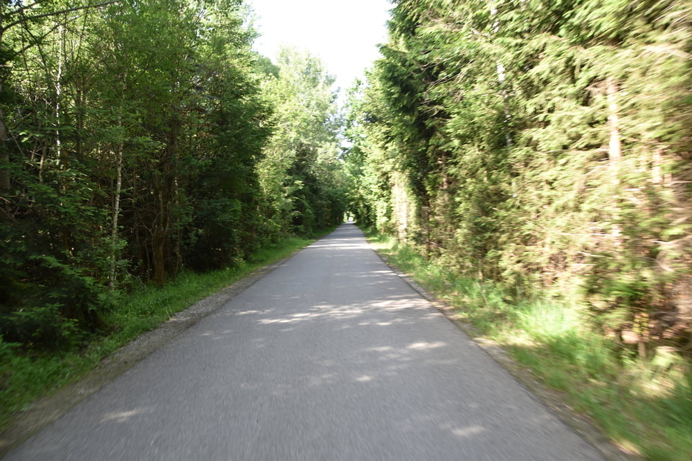
Alle Wege sind geteert, bis auf diejenigen um den STeinsee herum und von Mosach bis Buch zwei Teilstücke. In Mosach haben wir eine Pause gemacht, weil am Steinsee kein Platz mehr fürs hinsetzen war. Es fuhren so viele Autos vorbei, dass wir annehmen, dass auf der Autobahn Stau war und eine Kolonne duch Mosach geleitet wurde. Da sind wir nicht die Straße hochgefahren, sondern den Forstweg.
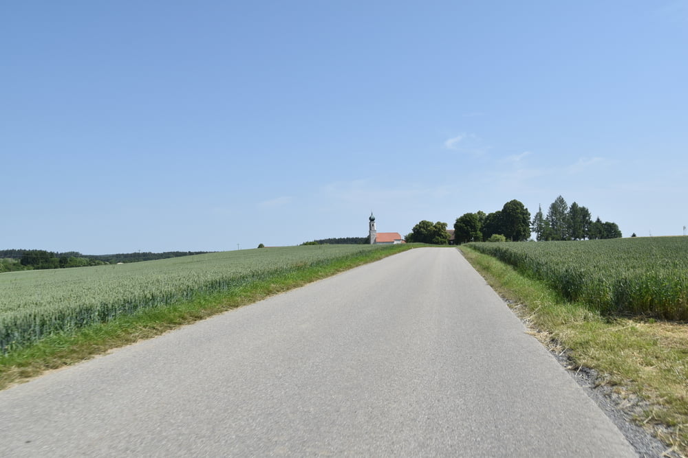
Besonders die Strecke Kaltenbrunn bis Münster ist landschaftlich super. So stellt man sich Bayern vor.
Further information at
https://de.wikipedia.org/wiki/Steinsee_(Niederseeon)Tour gallery
Tour map and elevation profile
Minimum height 540 m
Maximum height 655 m
More about the tour author

|
smartandem |
Comments

Nach Haar kommt man aus München mit der S-Bahn oder im Auto auf der B304. Parken kann man in den Nebenstraßen fast überall. Wenn man die Tour verkürzen will, kann man auch in Zorneding oder in Grafing starten.
Parken ist in den Nebenstraße kostenfrei.
GPS tracks
Trackpoints-
GPX / Garmin Map Source (gpx) download
-
TCX / Garmin Training Center® (tcx) download
-
CRS / Garmin Training Center® (crs) download
-
Google Earth (kml) download
-
G7ToWin (g7t) download
-
TTQV (trk) download
-
Overlay (ovl) download
-
Fugawi (txt) download
-
Kompass (DAV) Track (tk) download
-
Track data sheet (pdf) download
-
Original file of the author (gpx) download
More about the tour author
|
|
smartandem |
Add to my favorites
Remove from my favorites
Edit tags
Open track
My score
Rate