
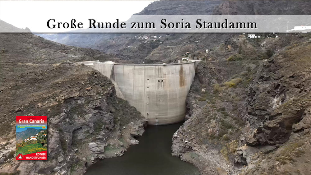

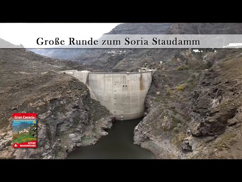
Gran Canaria hat ca. 60 Stauseen – die beiden, die wir auf der Soria-Runde streifen, gehören sicherlich zu den schönsten. Der Presa Cueva de las Niñas, der ringsherum von Kiefern gesäumten Hängen umgeben ist. Und der, an seinem Süd-Ost-Ufer wo wir in den Nachbar-Baco schauen, der zweite grandiose See liegt, der Embalse de Soria. Nach einem zusätzlichen Abstecher im Ort Soria der mit einem Getränk und einem Einkauf verbunden wurde, geht es auf der rechten Seite des Morro de Pinarete wieder zurück zum Ausgangspunkt.
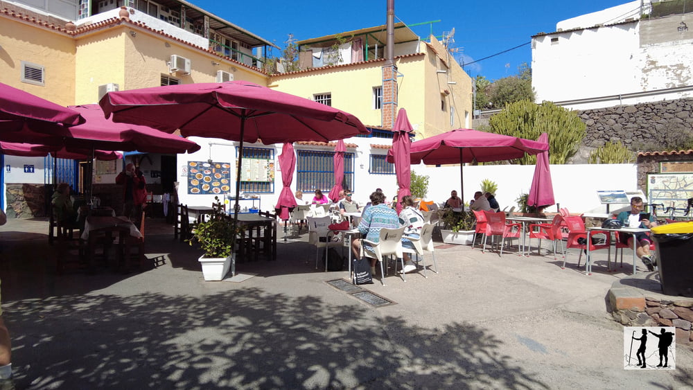
Tour gallery
Tour map and elevation profile
Minimum height 99999 m
Maximum height -99999 m
More about the tour author
|
|
schleidy |
Comments

GPS tracks
Trackpoints-
GPX / Garmin Map Source (gpx) download
-
TCX / Garmin Training Center® (tcx) download
-
CRS / Garmin Training Center® (crs) download
-
Google Earth (kml) download
-
G7ToWin (g7t) download
-
TTQV (trk) download
-
Overlay (ovl) download
-
Fugawi (txt) download
-
Kompass (DAV) Track (tk) download
-
Track data sheet (pdf) download
-
Original file of the author (gpx) download
More about the tour author
|
|
schleidy |
Add to my favorites
Remove from my favorites
Edit tags
Open track
My score
Rate