Login

Forgot your login?

Cookies have to be accepted!
Your browser's cookie functionality is disabled. Please enable this functionality.

Not a member yet?

Register now
Login

Available for registred users only

Log in to use this feature.

Forgot your login?

Cookies have to be accepted!
Your browser's cookie functionality is disabled. Please enable this functionality.

Not a member yet?

Register now
Filter
Categories
Advanced filters
  • Distance (km)
  • Height
Save filters Reset filter

TrackRank

QRCode

Technical data

Distance427,9 km Height6652 m Way down7014 m Duration00:00 h:m Date18.07.2022
Scores Author Landscape Fun factor Fitness Technique

Statistics

86 Views Scores 0 Downloads Average
Rate
  • Track data sheet
  • Directions
  • Downloads
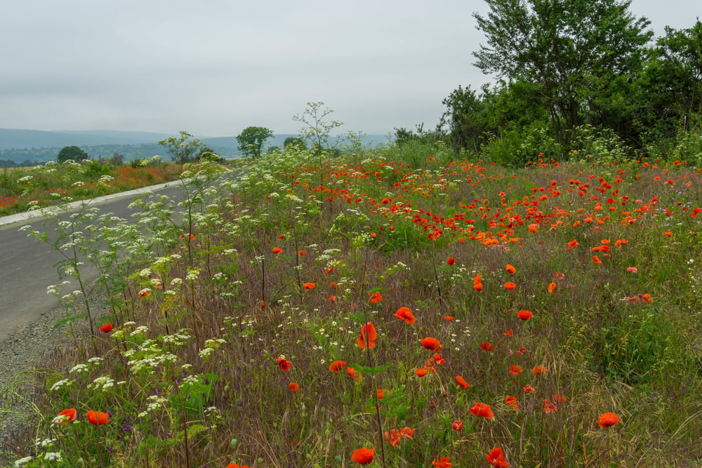
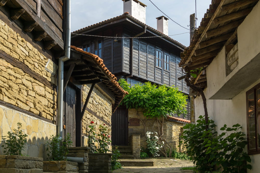
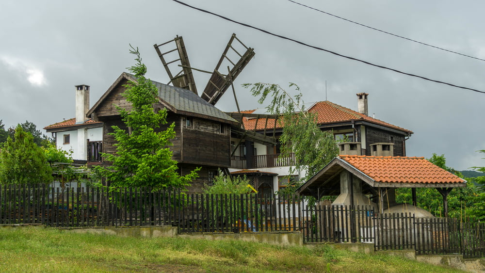
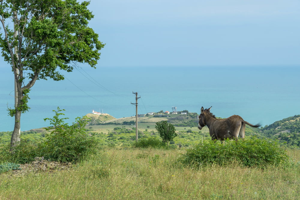
7 tägige Mountainbike Tour im östlichen Balkan. von Kazanlak im Rosental bis zum östlichen Ende des Balkangebirges bei Emona. Mehrmalige Überquerung des Hauptkammes. Vorbei an den Städten Elena und Sliven. Vorbei an Obzor und Elenite am Schwarzen Meer.

Tour gallery

Tour map and elevation profile

  • Open Street Map
  • Google
Minimum height Maximum height 1092 m Detailed view

More about the tour author

hutti
Member since 2009

Send private message

Comments

GPS tracks

Trackpoints
  • GPX / Garmin Map Source (gpx) download
  • TCX / Garmin Training Center® (tcx) download
  • CRS / Garmin Training Center® (crs) download
  • Google Earth (kml) download
  • G7ToWin (g7t) download
  • TTQV (trk) download
  • Overlay (ovl) download
  • Fugawi (txt) download
  • Kompass (DAV) Track (tk) download
  • Track data sheet (pdf) download
  • Original file of the author (gpx) download

More about the tour author

hutti
Member since 2009

Send private message
Share track
Add to my favorites
Remove from my favorites
Edit tags
My score
Rate
Track: Östliches Balkangebirge
Type: Mountain bike
Distance: 427,9 km
Evaluated on:
Duration:
Day(s)
Hour(s)
Minute(s)
Score: Landscape Fun factor Fitness Technique