


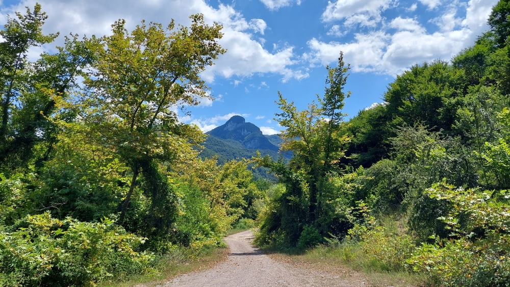
Eine sehr schöne Tour mit ganz vielen Höhenmetern durch schöne,grüne Berglandschaft. Die Wege sind teils Asphalt aber größtenteils einfach befahrbarer Gravel/Kies-Wege.
Anfangs geht es immer bergauf, teils offen aber viel auch schattig im Wald. Es geht durch kleine Dörfer und dann immer weiter hoch bis zur Bundestrasse Cide-Kastamonu (diese lässt sich sehr gut mit dem Rad befahren). Hier muss man dann noch einmal 250 Höhenmeter aufsteigen, wird dann aber mit einer rund 15 km langen Abfahrt nach Cide belohnt. Hier am besten Strandstop einlegen.
Tour gallery


Tour map and elevation profile
Minimum height -50 m
Maximum height 904 m
More about the tour author
|
|
Zoellig |
Comments

Ich wohne im Kumluca bei der Famile, daher starten die Touren dort.
GPS tracks
Trackpoints-
GPX / Garmin Map Source (gpx) download
-
TCX / Garmin Training Center® (tcx) download
-
CRS / Garmin Training Center® (crs) download
-
Google Earth (kml) download
-
G7ToWin (g7t) download
-
TTQV (trk) download
-
Overlay (ovl) download
-
Fugawi (txt) download
-
Kompass (DAV) Track (tk) download
-
Track data sheet (pdf) download
-
Original file of the author (gpx) download
More about the tour author
|
|
Zoellig |
Add to my favorites
Remove from my favorites
Edit tags
Open track
My score
Rate