


Eine schöne Tour im Hinterland von Cide. Start in Kumluca (da habe ich gewohnt).
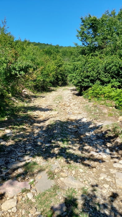
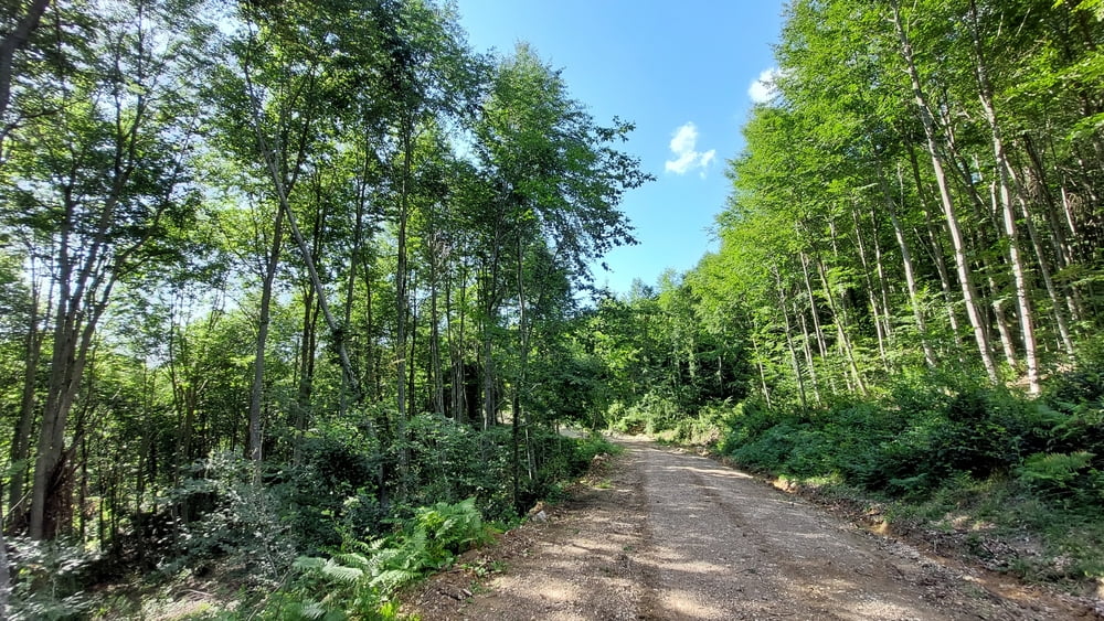
Ab Cide geht es dann zunächst östlich von Cide nur bergauf durch Dörfer und Waldwege. Es ist auch bei Hitze viel Schatten dabei. Die Wege sind größtenteils Gravel/Kies-Wege. Teils sehr grob, so dass ein Mountainbike unerlässlich ist.
Später treffen wir auf die Bundestrasse Cide-Kastamonu (diese lässt sich sehr gut mit dem Rad befahren). Hier müssen wir dann noch ein paar km neben der Strasse fahren bevor wir die Abfahrt auf der Westseite des Tals beginnen.
Nach der Abfahrt kommt man wieder in Cide an. Hier am besten Strandstop einlegen.
Einschränkungen
This tour has a carry or push section on 0.1 kilometers
Tour gallery
Tour map and elevation profile
Minimum height 3 m
Maximum height 622 m
More about the tour author
|
|
Zoellig |
Comments

Start in Cumluca, geht aber natürlich auch in Cide.
Einschränkungen
This tour has a carry or push section on 0.1 kilometers
GPS tracks
Trackpoints-
GPX / Garmin Map Source (gpx) download
-
TCX / Garmin Training Center® (tcx) download
-
CRS / Garmin Training Center® (crs) download
-
Google Earth (kml) download
-
G7ToWin (g7t) download
-
TTQV (trk) download
-
Overlay (ovl) download
-
Fugawi (txt) download
-
Kompass (DAV) Track (tk) download
-
Track data sheet (pdf) download
-
Original file of the author (gpx) download
More about the tour author
|
|
Zoellig |
Add to my favorites
Remove from my favorites
Edit tags
Open track
My score
Rate