
")

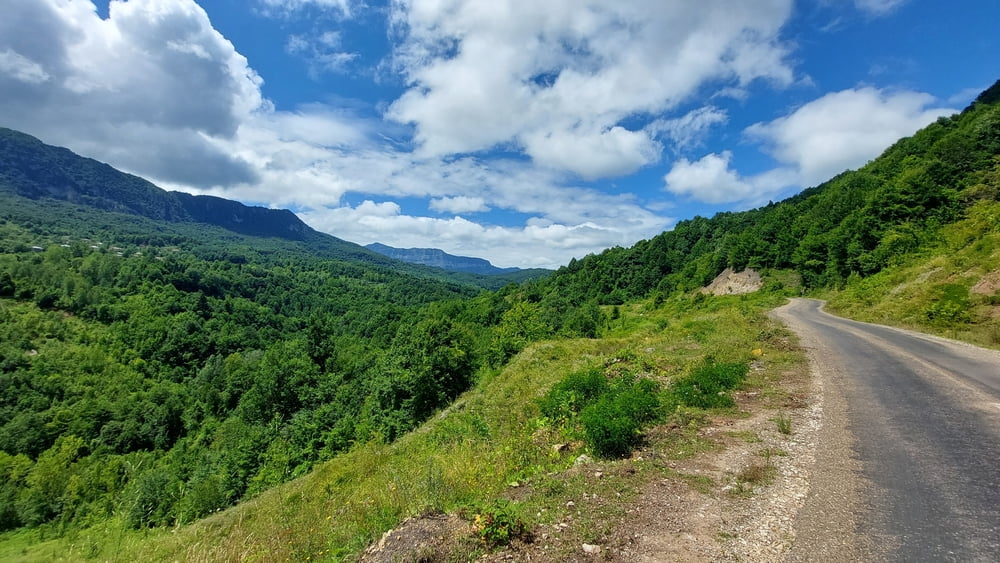
Hier ging es vom Dorf Kumluca hinter die erste Bergkette und dann parallel zur KÜste nach Westen.
Die Fahrt war extrem schön, es gab tolle, grüne Landschaft, kleine Dörfer, Flüsse und mehr.
Die Wege sind teils asphaltiert, teils Kies-/Gravel-Wege, alle gut befahrbar.
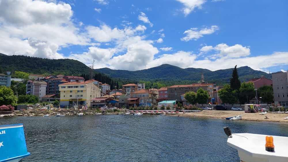
Die ersten 12 km geht es fast nur bergauf, dann lange bergab bis zur Küstenstrasse. Hier bin ich bie nach Kurucasile gefahren, dann aber später zurück zum Stand von Kapisuyu, weil dies der schönere Ort für einen Essensstop war. Von dort über die Küstenstrasee zurück nach Cide. Diese lässt sich recht gut befahren, es war nicht zu viel Verkehr.
Tour gallery

Tour map and elevation profile
Minimum height 18 m
Maximum height 453 m
More about the tour author
|
|
Zoellig |
Comments

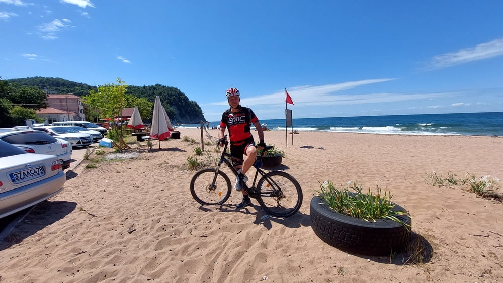
Start in Kumluca
GPS tracks
Trackpoints-
GPX / Garmin Map Source (gpx) download
-
TCX / Garmin Training Center® (tcx) download
-
CRS / Garmin Training Center® (crs) download
-
Google Earth (kml) download
-
G7ToWin (g7t) download
-
TTQV (trk) download
-
Overlay (ovl) download
-
Fugawi (txt) download
-
Kompass (DAV) Track (tk) download
-
Track data sheet (pdf) download
-
Original file of the author (gpx) download
More about the tour author
|
|
Zoellig |
Add to my favorites
Remove from my favorites
Edit tags
Open track
My score
Rate