


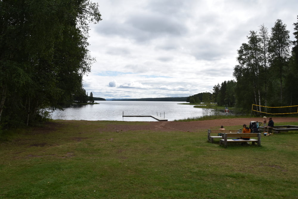
Heute gehts erst mal Richtung Orsa auf einer relativ breiten Straße. Die ist aber wenig befahren und schön geführt. Dann biegen wir ab und kommen durch Torsmo am Badplats vorbei. Sehr schön und gleich Kaffeepause gemacht.
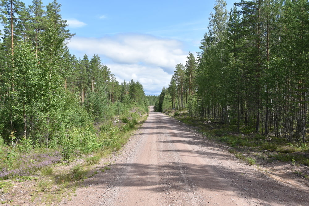
Wieter gehts um den Orsa-See herum und damit wir über einen Fluss kommen müssen wir 10km ins Landesinnere und wieder zurück. Anstrengend. Kurz vor Furudal beschließen wir spontan noch zu den Fäbodarna Ärteåsen zu fahren. Es geht mehr als 100hm hoch auf gutem Waldweg. Dann noch 500 Meter laufen und tolle Aussicht und schöne Bodar.
Kaffee und Bulle gibts auch.
Further information at
https://de.wikipedia.org/wiki/FurudalTour gallery


Tour map and elevation profile
Minimum height 208 m
Maximum height 384 m
More about the tour author

|
smartandem |
Comments

Nach Schweden sind wir mit dem Auto gefahren. Die Fähre Rostock - Trelleborg hat uns hingebracht. Von dort sind wir auf der E4 in einem Rutsch bis Vadstena und über die Straße 50 nach Askersund gefahren.
Die E4 ist sehr gut ausgebaut und oft Autobahnähnlich mit 120 zu befahren. Dazwischen mal mit 90 oder 100 auf 3 Spuren, wobei das 2-spurige alle paar km wechselt.
GPS tracks
Trackpoints-
GPX / Garmin Map Source (gpx) download
-
TCX / Garmin Training Center® (tcx) download
-
CRS / Garmin Training Center® (crs) download
-
Google Earth (kml) download
-
G7ToWin (g7t) download
-
TTQV (trk) download
-
Overlay (ovl) download
-
Fugawi (txt) download
-
Kompass (DAV) Track (tk) download
-
Track data sheet (pdf) download
-
Original file of the author (gpx) download
More about the tour author
|
|
smartandem |
Add to my favorites
Remove from my favorites
Edit tags
Open track
My score
Rate