


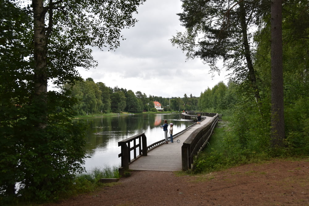
Heute ist leider etwas schlechteres Wetter, so dass wir nicht nach Grönklitt fahren. Das macht nur Sinn bei Sicht. Wir Fahren die Orsasjö-Runde mit ein paar Schlenkern und sehen uns ein bisschen in Mora um. Der Weg ist als Silijansleden weitgehend ausgeschildert und läuft auf kleinen Straßen und Feldwegen. Alle gut zu fahren, außer wenn es richtig regnet.
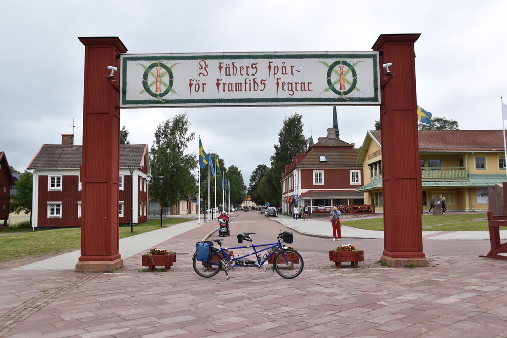
In Mora hat das Vasaloppets Hus leider geschlossen, also laufen wir in der Stadt rum. Einige alte Häuser in Hembygdsgårds und Bygdegårds haben wir schon gesehen und halten nicht mehr extra an und besichtigen sie.
Further information at
https://de.wikipedia.org/wiki/V%C3%A5mhusTour gallery
Tour map and elevation profile
Minimum height 157 m
Maximum height 211 m
More about the tour author

|
smartandem |
Comments

Nach Schweden sind wir mit dem Auto gefahren. Die Fähre Rostock - Trelleborg hat uns hingebracht. Von dort sind wir auf der E4 in einem Rutsch bis Vadstena und über die Straße 50 nach Askersund gefahren.
Die E4 ist sehr gut ausgebaut und oft Autobahnähnlich mit 120 zu befahren. Dazwischen mal mit 90 oder 100 auf 3 Spuren, wobei das 2-spurige alle paar km wechselt.
GPS tracks
Trackpoints-
GPX / Garmin Map Source (gpx) download
-
TCX / Garmin Training Center® (tcx) download
-
CRS / Garmin Training Center® (crs) download
-
Google Earth (kml) download
-
G7ToWin (g7t) download
-
TTQV (trk) download
-
Overlay (ovl) download
-
Fugawi (txt) download
-
Kompass (DAV) Track (tk) download
-
Track data sheet (pdf) download
-
Original file of the author (gpx) download
More about the tour author
|
|
smartandem |
Add to my favorites
Remove from my favorites
Edit tags
Open track
My score
Rate