
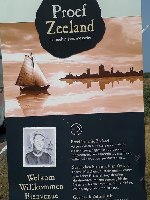

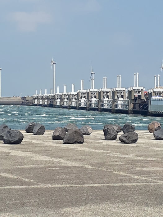
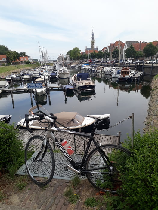
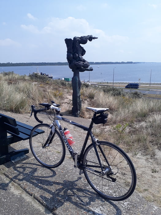
Hier eine kleine Rennradtour im Bereich Middelburg,Domburg, Vrouwenpolder , Gezeitenkraftwerk, Burgh Hamstede. Je nach Windrichtung eine Herausforderung oder per Rückenwind kann man richtig schnell fahren. Wege sind richtig gut vom Asphalt jedenfalls, es gibt auch Wege die noch gerade fahrbar sind mit den RR Reifen. Egal es soll ja Spass machen.
Tour gallery
Tour map and elevation profile
Minimum height -41 m
Maximum height 9 m
More about the tour author
|
|
rotwilder |
Comments

Parken in Niederlande ist wie allgemein bekannt nicht gerade einfach.
GPS tracks
Trackpoints-
GPX / Garmin Map Source (gpx) download
-
TCX / Garmin Training Center® (tcx) download
-
CRS / Garmin Training Center® (crs) download
-
Google Earth (kml) download
-
G7ToWin (g7t) download
-
TTQV (trk) download
-
Overlay (ovl) download
-
Fugawi (txt) download
-
Kompass (DAV) Track (tk) download
-
Track data sheet (pdf) download
-
Original file of the author (gpx) download
More about the tour author
|
|
rotwilder |
Add to my favorites
Remove from my favorites
Edit tags
Open track
My score
Rate