
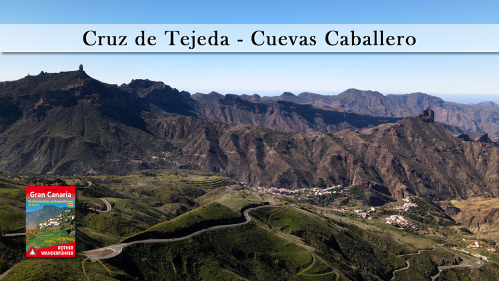

Kurz ist die heutige Runde, doch sie bietet viel: Grandios sind die Blicke über verwitterte Gebirgsfestungen und das Meer, hinweg bis nach Teneriffa. Schon die Ureinwohner hat die Aussicht berauscht. Am Wendepunkt der Wanderung, entdeckt man zwischen Felsbrocken versteckt, die „Höhlen des Herrn“. Zurück geht es auf einer bequemen Waldpiste von der man an lichten Stellen über GC Nordhänge bis nach Las Palmas blicken kann.
Tour gallery


Tour map and elevation profile
Minimum height 1509 m
Maximum height 1730 m
More about the tour author
|
|
schleidy |
Comments

GPS tracks
Trackpoints-
GPX / Garmin Map Source (gpx) download
-
TCX / Garmin Training Center® (tcx) download
-
CRS / Garmin Training Center® (crs) download
-
Google Earth (kml) download
-
G7ToWin (g7t) download
-
TTQV (trk) download
-
Overlay (ovl) download
-
Fugawi (txt) download
-
Kompass (DAV) Track (tk) download
-
Track data sheet (pdf) download
-
Original file of the author (gpx) download
More about the tour author
|
|
schleidy |
Add to my favorites
Remove from my favorites
Edit tags
Open track
My score
Rate